Area Overview for MK45 2HZ
Photos of MK45 2HZ

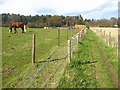
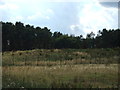
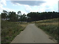
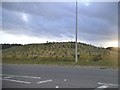

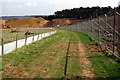
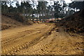
24 photos from this area
Area Information
Key information about the MK45 2HZ including its size, population, and administrative classification.
- Area Type
- Postcode
- Area Size
- 3.0 km²
- Population
- 2327
- Population Density
- 253 people/km²
House Prices in MK45 2HZ
14
Properties
£590,000
Average Sold Price
£240,000
Lowest Price
£940,000
Highest Price
Showing 14 properties
| Address | Type | Beds | Baths | Last Sale Price | Last Sale Date | |
|---|---|---|---|---|---|---|
| Grey Gables, Fordfield Road, Millbrook, MK45 2HZ | Detached | 4 | 3 | £940,000 | Sep 2021 | |
| Pine View, Fordfield Road, Millbrook, MK45 2HZ | Bungalow | - | - | £240,000 | Mar 2007 | |
| Fordfield Farm, Fordfield Road, Millbrook, MK45 2HZ | Land | - | - | - | - | |
| Forest View, Fordfield Road, Millbrook, MK45 2HZ | Farm | - | - | - | - | |
| Tennis 398M From Fox Covert Farm, Fordfield Road 26M From Unnamed Road, Fordfield Road, Millbrook, MK45 2HZ | Leisure | - | - | - | - | |
| Fordfield House Nursery, Fordfield Road, Millbrook, MK45 2HZ | Detached | - | - | - | - | |
| Fordfield Farm Bungalow, Fordfield Road, Millbrook, MK45 2HZ | Bungalow | - | - | - | - | |
| Millbrook Vineyard, Fordfield Road, Millbrook, MK45 2HZ | Detached | - | - | - | - | |
| Staples Garden Centre And Nurseries, Staples Wholesale Nursery, Fordfield Road, Millbrook, MK45 2HZ | shop | - | - | - | - | |
| Breakheart Hill Farm, Fordfield Road, Millbrook, MK45 2HZ | general_industrial | - | - | - | - |
Page 1 of 2
Energy Efficiency in MK45 2HZ
Amenities
Schools
| Rank | School | Type | Entry gender | Ages |
|---|
Explore more schools in this area
Go to Schools tabDemographics
Household Size
Family (3-5 people)
most common
Accommodation Type
Houses
most common
Tenure
85
majority
Ethnic Group
White
most common
Religion
N/A
most common
Household Composition
N/A
most common
Age
47
median
Adults (30-64 years)
most common
Household Deprivation
N/A
with no deprivation
NS-SEC
51
in Lower managerial occupations
Explore more demographic insights in this area
Go to Demographics tabPlanning
Planning Constraints
- Flood RiskPremium
- Ramsar Wetland SitesPremium
- Area of Outstanding Natural BeautyPremium
- Protected Nature ReservePremium
- Protected WoodlandPremium