Area Overview for MK43 0TS
Photos of MK43 0TS
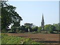
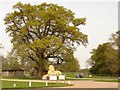
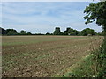
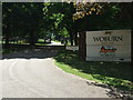
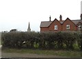
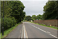
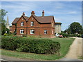
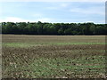
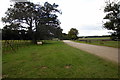
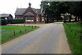
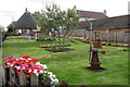
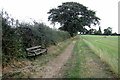
15 photos from this area
Area Information
Key information about the MK43 0TS including its size, population, and administrative classification.
- Area Type
- Postcode
- Area Size
- 7.7 hectares
- Population
- 1417
- Population Density
- 36 people/km²
House Prices in MK43 0TS
36
Properties
£444,875
Average Sold Price
£150,000
Lowest Price
£785,000
Highest Price
Showing 36 properties
| Address | Type | Beds | Baths | Last Sale Price | Last Sale Date | |
|---|---|---|---|---|---|---|
| 44 High Street, Ridgmont, MK43 0TS | house | 4 | - | £785,000 | Apr 2021 | |
| The Old Hall, High Street, Ridgmont, MK43 0TS | Semi-detached | 4 | - | £564,500 | Jul 2013 | |
| 48 High Street, Ridgmont, MK43 0TS | Detached | - | - | £150,000 | Apr 2011 | |
| 17 High Street, Ridgmont, MK43 0TS | Semi-detached | - | - | £280,000 | Oct 2000 | |
| The Barn, Warren Farm, High Street, Ridgmont, MK43 0TS | Semi-detached | 5 | 3 | - | - | |
| West House, Warren Farm, High Street, Ridgmont, MK43 0TS | Terraced | 5 | 4 | - | - | |
| South Barn, Warren Farm, High Street, Ridgmont, MK43 0TS | Bungalow | 4 | - | - | - | |
| East House, Warren Farm, High Street, Ridgmont, MK43 0TS | house | 5 | - | - | - | |
| School House, Ridgmont Lower School, High Street, Ridgmont, MK43 0TS | Detached | - | - | - | - | |
| The Old Church House, High Street, Ridgmont, MK43 0TS | undefined | - | - | - | - |
Page 1 of 4
Energy Efficiency in MK43 0TS
Amenities
Schools
| Rank | School | Type | Entry gender | Ages |
|---|
Explore more schools in this area
Go to Schools tabDemographics
Household Size
Two person
most common
Accommodation Type
Houses
most common
Tenure
55
majority
Ethnic Group
White
most common
Religion
N/A
most common
Household Composition
N/A
most common
Age
47
median
Adults (30-64 years)
most common
Household Deprivation
N/A
with no deprivation
NS-SEC
44
in Lower managerial occupations
Explore more demographic insights in this area
Go to Demographics tabPlanning
Planning Constraints
- Flood RiskPremium
- Ramsar Wetland SitesPremium
- Area of Outstanding Natural BeautyPremium
- Protected Nature ReservePremium
- Protected WoodlandPremium