Area Overview for MK43 0EW
Photos of MK43 0EW
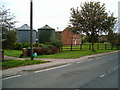
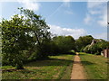
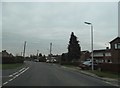
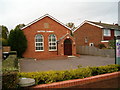
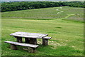
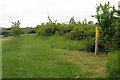
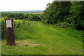
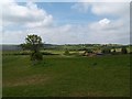
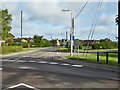
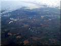
10 photos from this area
Area Information
Key information about the MK43 0EW including its size, population, and administrative classification.
- Area Type
- Postcode
- Area Size
- 5769 m²
- Population
- 1364
- Population Density
- 211 people/km²
House Prices in MK43 0EW
14
Properties
£213,227
Average Sold Price
£60,000
Lowest Price
£340,000
Highest Price
Showing 14 properties
| Address | Type | Beds | Baths | Last Sale Price | Last Sale Date | |
|---|---|---|---|---|---|---|
| 7 Bedford Road, Cranfield, MK43 0EW | house | - | - | £340,000 | Aug 2023 | |
| 11 Bedford Road, Cranfield, MK43 0EW | house | 3 | 2 | £325,000 | Jul 2022 | |
| 15 Bedford Road, Cranfield, MK43 0EW | Semi-detached | 1 | 1 | £202,000 | Sep 2019 | |
| 4 Bedford Road, Cranfield, MK43 0EW | Semi-detached | 4 | 1 | £240,000 | May 2019 | |
| 2 Bedford Road, Cranfield, MK43 0EW | Semi-detached | 3 | 1 | £234,000 | Oct 2015 | |
| 12 Bedford Road, Cranfield, MK43 0EW | Semi-detached | 4 | 2 | £295,000 | Jun 2015 | |
| 17 Bedford Road, Cranfield, MK43 0EW | house | - | - | £156,000 | Aug 2012 | |
| 6 Bedford Road, Cranfield, MK43 0EW | Semi-detached | 3 | 2 | £155,000 | May 2010 | |
| 9 Bedford Road, Cranfield, MK43 0EW | Terraced | - | - | £152,500 | May 2007 | |
| 19 Bedford Road, Cranfield, MK43 0EW | Terraced | - | - | £186,000 | Jul 2005 |
Page 1 of 2
Energy Efficiency in MK43 0EW
Amenities
Schools
| Rank | School | Type | Entry gender | Ages |
|---|
Explore more schools in this area
Go to Schools tabDemographics
Household Size
Family (3-5 people)
most common
Accommodation Type
Houses
most common
Tenure
76
majority
Ethnic Group
White
most common
Religion
N/A
most common
Household Composition
N/A
most common
Age
47
median
Adults (30-64 years)
most common
Household Deprivation
N/A
with no deprivation
NS-SEC
47
in Lower managerial occupations
Explore more demographic insights in this area
Go to Demographics tabPlanning
Planning Constraints
- Flood RiskPremium
- Ramsar Wetland SitesPremium
- Area of Outstanding Natural BeautyPremium
- Protected Nature ReservePremium
- Protected WoodlandPremium