Area Overview for MK43 0EU
Photos of MK43 0EU
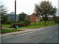
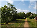
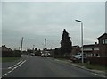
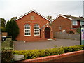
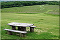
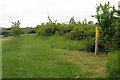
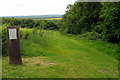
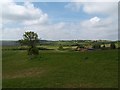
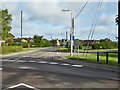
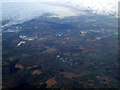
10 photos from this area
Area Information
Key information about the MK43 0EU including its size, population, and administrative classification.
- Area Type
- Postcode
- Area Size
- 1.7 hectares
- Population
- 1476
- Population Density
- 1211 people/km²
House Prices in MK43 0EU
21
Properties
£283,611
Average Sold Price
£66,995
Lowest Price
£440,000
Highest Price
Showing 21 properties
| Address | Type | Beds | Baths | Last Sale Price | Last Sale Date | |
|---|---|---|---|---|---|---|
| 52 Bedford Road, Cranfield, MK43 0EU | house | 3 | 1 | £440,000 | Jun 2024 | |
| 60 Bedford Road, Cranfield, MK43 0EU | house | 4 | 1 | £360,000 | Mar 2021 | |
| Wisteria Haze, 25 Bedford Road, Cranfield, MK43 0EU | Detached | 4 | 1 | £435,000 | Oct 2018 | |
| 23 Bedford Road, Cranfield, MK43 0EU | house | - | - | £262,000 | Oct 2018 | |
| 58 Bedford Road, Cranfield, MK43 0EU | Terraced | 3 | 1 | £250,000 | Sep 2015 | |
| 35 Bedford Road, Cranfield, MK43 0EU | Semi-detached | 3 | - | £210,000 | Apr 2014 | |
| 54 Bedford Road, Cranfield, MK43 0EU | house | 3 | - | £325,000 | Apr 2010 | |
| 27 Bedford Road, Cranfield, MK43 0EU | Retail | 3 | - | £203,500 | Aug 2005 | |
| 33 Bedford Road, Cranfield, MK43 0EU | Detached | - | - | £66,995 | Feb 1997 | |
| 31 Bedford Road, Cranfield, MK43 0EU | Detached | 3 | 1 | - | - |
Page 1 of 3
Energy Efficiency in MK43 0EU
Amenities
Schools
| Rank | School | Type | Entry gender | Ages |
|---|
Explore more schools in this area
Go to Schools tabDemographics
Household Size
Family (3-5 people)
most common
Accommodation Type
Houses
most common
Tenure
72
majority
Ethnic Group
White
most common
Religion
N/A
most common
Household Composition
N/A
most common
Age
47
median
Adults (30-64 years)
most common
Household Deprivation
N/A
with no deprivation
NS-SEC
34
in Lower managerial occupations
Explore more demographic insights in this area
Go to Demographics tabPlanning
Planning Constraints
- Flood RiskPremium
- Ramsar Wetland SitesPremium
- Area of Outstanding Natural BeautyPremium
- Protected Nature ReservePremium
- Protected WoodlandPremium