Area Overview for MK42 9NJ
Photos of MK42 9NJ
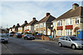
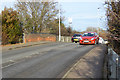
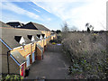
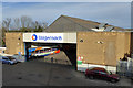
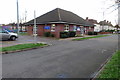
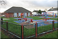
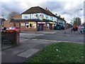
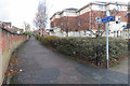
29 photos from this area
Area Information
Key information about the MK42 9NJ including its size, population, and administrative classification.
- Area Type
- Postcode
- Area Size
- 5466 m²
- Population
- 2087
- Population Density
- 4554 people/km²
House Prices in MK42 9NJ
39
Properties
£122,465
Average Sold Price
£66,710
Lowest Price
£230,000
Highest Price
Showing 39 properties
| Address | Type | Beds | Baths | Last Sale Price | Last Sale Date | |
|---|---|---|---|---|---|---|
| 153 Redwood Grove, Bedford, MK42 9NJ | Flat | 1 | 1 | £128,000 | Mar 2025 | |
| 145 Redwood Grove, Bedford, MK42 9NJ | Flat | 1 | 1 | £112,500 | Dec 2021 | |
| 161 Redwood Grove, Bedford, MK42 9NJ | Flat | 1 | 1 | £126,000 | Nov 2018 | |
| 151 Redwood Grove, Bedford, MK42 9NJ | Flat | - | - | £140,000 | Oct 2018 | |
| 163 Redwood Grove, Bedford, MK42 9NJ | Terraced | 2 | - | £215,000 | May 2017 | |
| 91 Redwood Grove, Bedford, MK42 9NJ | Terraced | 1 | 1 | £230,000 | Mar 2017 | |
| 155 Redwood Grove, Bedford, MK42 9NJ | Flat | 1 | 1 | £109,995 | Aug 2016 | |
| 135 Redwood Grove, Bedford, MK42 9NJ | Flat | - | - | £157,000 | Jan 2016 | |
| 139 Redwood Grove, Bedford, MK42 9NJ | Flat | - | - | £93,000 | Jul 2015 | |
| 141 Redwood Grove, Bedford, MK42 9NJ | Flat | - | - | £102,500 | May 2015 |
Page 1 of 4
Energy Efficiency in MK42 9NJ
Amenities
Schools
| Rank | School | Type | Entry gender | Ages |
|---|
Explore more schools in this area
Go to Schools tabDemographics
Household Size
One person
most common
Accommodation Type
Houses
most common
Tenure
35
majority
Ethnic Group
White
most common
Religion
N/A
most common
Household Composition
N/A
most common
Age
47
median
Adults (30-64 years)
most common
Household Deprivation
N/A
with no deprivation
NS-SEC
24
in Lower managerial occupations
Explore more demographic insights in this area
Go to Demographics tabPlanning
Planning Constraints
- Flood RiskPremium
- Ramsar Wetland SitesPremium
- Area of Outstanding Natural BeautyPremium
- Protected Nature ReservePremium
- Protected WoodlandPremium