Area Overview for MK17 9EE
Photos of MK17 9EE
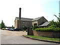
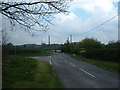
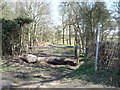
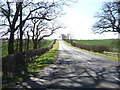
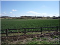
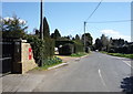
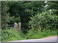
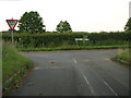
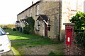
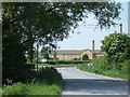
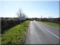
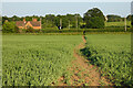
17 photos from this area
Area Information
Key information about the MK17 9EE including its size, population, and administrative classification.
- Area Type
- Postcode
- Area Size
- 6.4 hectares
- Population
- 1417
- Population Density
- 36 people/km²
House Prices in MK17 9EE
17
Properties
£525,045
Average Sold Price
£115,000
Lowest Price
£1,600,000
Highest Price
Showing 17 properties
| Address | Type | Beds | Baths | Last Sale Price | Last Sale Date | |
|---|---|---|---|---|---|---|
| 2 Lower Rads End, Eversholt, MK17 9EE | Terraced | 2 | 1 | £275,500 | Sep 2023 | |
| 3 Lower Rads End, Eversholt, MK17 9EE | house | - | - | £325,000 | Jul 2022 | |
| Falcon House, Lower Rads End, Eversholt, MK17 9EE | house | 5 | - | £1,600,000 | Apr 2022 | |
| 6 Lower Rads End, Eversholt, MK17 9EE | Terraced | 3 | 1 | £303,000 | Aug 2018 | |
| Holly Cottage, Lower Rads End, Eversholt, MK17 9EE | house | 5 | - | £765,000 | Feb 2017 | |
| 5 Lower Rads End, Eversholt, MK17 9EE | house | 2 | - | £220,000 | Nov 2010 | |
| Caxton House, Tingrith Road, Eversholt, MK17 9EE | Detached | - | - | £650,000 | Oct 2006 | |
| 8 Lower Rads End, Eversholt, MK17 9EE | Terraced | - | - | £227,000 | Jun 2006 | |
| Penrose House, Lower Rads End, Eversholt, MK17 9EE | Detached | - | - | £795,000 | May 2006 | |
| 7 Lower Rads End, Eversholt, MK17 9EE | house | 2 | 1 | £115,000 | Dec 2004 |
Page 1 of 2
Energy Efficiency in MK17 9EE
Amenities
Schools
| Rank | School | Type | Entry gender | Ages |
|---|
Explore more schools in this area
Go to Schools tabDemographics
Household Size
Two person
most common
Accommodation Type
Houses
most common
Tenure
55
majority
Ethnic Group
White
most common
Religion
N/A
most common
Household Composition
N/A
most common
Age
47
median
Adults (30-64 years)
most common
Household Deprivation
N/A
with no deprivation
NS-SEC
44
in Lower managerial occupations
Explore more demographic insights in this area
Go to Demographics tabPlanning
Planning Constraints
- Flood RiskPremium
- Ramsar Wetland SitesPremium
- Area of Outstanding Natural BeautyPremium
- Protected Nature ReservePremium
- Protected WoodlandPremium