Area Overview for MK17 9EA
Photos of MK17 9EA
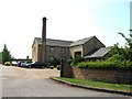
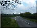
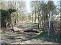
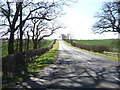
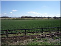
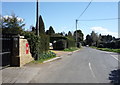
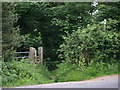
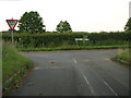
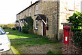
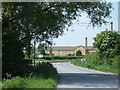
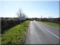

17 photos from this area
Area Information
Key information about the MK17 9EA including its size, population, and administrative classification.
- Area Type
- Postcode
- Area Size
- 1.0 km²
- Population
- 1417
- Population Density
- 36 people/km²
House Prices in MK17 9EA
23
Properties
£226,667
Average Sold Price
£80,000
Lowest Price
£525,000
Highest Price
Showing 23 properties
| Address | Type | Beds | Baths | Last Sale Price | Last Sale Date | |
|---|---|---|---|---|---|---|
| 37 Old Water End, Eversholt, MK17 9EA | Terraced | 2 | 1 | £525,000 | Nov 2021 | |
| 76 New Water End, Eversholt, MK17 9EA | Terraced | 3 | - | £320,000 | Oct 2013 | |
| 38 Old Water End, Eversholt, MK17 9EA | house | - | - | £223,000 | May 2011 | |
| 77 New Water End, Eversholt, MK17 9EA | Terraced | - | - | £120,000 | Oct 2006 | |
| 75 New Water End, Eversholt, MK17 9EA | Terraced | - | - | £92,000 | Jun 1999 | |
| 39 Old Water End, Eversholt, MK17 9EA | Cottage | 2 | 1 | £80,000 | Jun 1999 | |
| Eversholt Investments Ltd, Unit 4, Water End Barns, Water End, Eversholt, MK17 9EA | Office | - | - | - | - | |
| Bridge Services International Ltd, Unit 3, Water End Barns, Water End, Eversholt, MK17 9EA | Office | - | - | - | - | |
| Bishops Accountancy Practice, Unit 2, Water End Barns, Water End, Eversholt, MK17 9EA | Office | - | - | - | - | |
| 81 New Water End, Eversholt, MK17 9EA | house | - | - | - | - |
Page 1 of 3
Energy Efficiency in MK17 9EA
Amenities
Schools
| Rank | School | Type | Entry gender | Ages |
|---|
Explore more schools in this area
Go to Schools tabDemographics
Household Size
Two person
most common
Accommodation Type
Houses
most common
Tenure
55
majority
Ethnic Group
White
most common
Religion
N/A
most common
Household Composition
N/A
most common
Age
47
median
Adults (30-64 years)
most common
Household Deprivation
N/A
with no deprivation
NS-SEC
44
in Lower managerial occupations
Explore more demographic insights in this area
Go to Demographics tabPlanning
Planning Constraints
- Flood RiskPremium
- Ramsar Wetland SitesPremium
- Area of Outstanding Natural BeautyPremium
- Protected Nature ReservePremium
- Protected WoodlandPremium