Area Overview for MK17 8TX
Photos of MK17 8TX
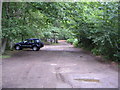
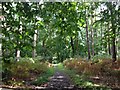
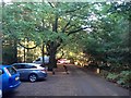
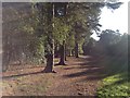
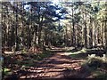

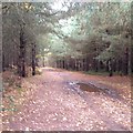
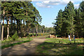
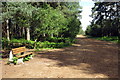
12 photos from this area
Area Information
Key information about the MK17 8TX including its size, population, and administrative classification.
- Area Type
- Postcode
- Area Size
- 41.6 hectares
- Population
- 1241
- Population Density
- 149 people/km²
House Prices in MK17 8TX
19
Properties
£276,333
Average Sold Price
£65,000
Lowest Price
£512,500
Highest Price
Showing 19 properties
| Address | Type | Beds | Baths | Last Sale Price | Last Sale Date | |
|---|---|---|---|---|---|---|
| 1 The Knoll, Aspley Heath, MK17 8TX | Flat | - | - | £426,500 | Oct 2023 | |
| 18 The Knoll, Aspley Heath, MK17 8TX | Terraced | 2 | - | £365,000 | Mar 2023 | |
| 7 The Knoll, Aspley Heath, MK17 8TX | Flat | - | - | £480,000 | Dec 2021 | |
| 12 The Knoll, Aspley Heath, MK17 8TX | Flat | - | - | £280,000 | Jul 2020 | |
| 19 The Knoll, Aspley Heath, MK17 8TX | Terraced | 2 | 1 | £367,000 | Jul 2017 | |
| 3 The Knoll, Aspley Heath, MK17 8TX | Flat | 1 | 1 | £512,500 | Dec 2016 | |
| 9 The Knoll, Aspley Heath, MK17 8TX | Flat | - | - | £320,000 | Jul 2015 | |
| 10 The Knoll, Aspley Heath, MK17 8TX | Flat | - | - | £190,000 | Jul 2015 | |
| 8 The Knoll, Aspley Heath, MK17 8TX | Flat | 1 | 1 | £176,000 | Jul 2015 | |
| 17 The Knoll, Aspley Heath, MK17 8TX | Terraced | 2 | 2 | £280,000 | Nov 2013 |
Page 1 of 2
Energy Efficiency in MK17 8TX
Amenities
Schools
| Rank | School | Type | Entry gender | Ages |
|---|
Explore more schools in this area
Go to Schools tabDemographics
Household Size
One person
most common
Accommodation Type
Houses
most common
Tenure
64
majority
Ethnic Group
White
most common
Religion
N/A
most common
Household Composition
N/A
most common
Age
47
median
Adults (30-64 years)
most common
Household Deprivation
N/A
with no deprivation
NS-SEC
46
in Lower managerial occupations
Explore more demographic insights in this area
Go to Demographics tabPlanning
Planning Constraints
- Flood RiskPremium
- Ramsar Wetland SitesPremium
- Area of Outstanding Natural BeautyPremium
- Protected Nature ReservePremium
- Protected WoodlandPremium