Area Overview for LU7 2UA
Photos of LU7 2UA
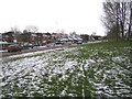
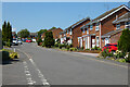
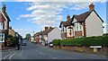
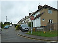
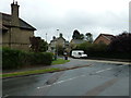
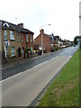
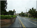
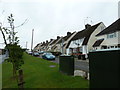
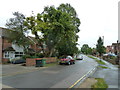
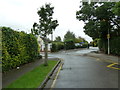
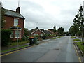
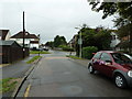
34 photos from this area
Area Information
Key information about the LU7 2UA including its size, population, and administrative classification.
- Area Type
- Postcode
- Area Size
- 3.7 hectares
- Population
- 1280
- Population Density
- 6410 people/km²
House Prices in LU7 2UA
26
Properties
£262,000
Average Sold Price
£70,000
Lowest Price
£445,000
Highest Price
Showing 26 properties
| Address | Type | Beds | Baths | Last Sale Price | Last Sale Date | |
|---|---|---|---|---|---|---|
| 508 Bideford Green, Linslade, LU7 2UA | house | - | - | £375,000 | Feb 2022 | |
| 511 Bideford Green, Linslade, LU7 2UA | Detached | 3 | 2 | £400,000 | Jul 2021 | |
| 504 Bideford Green, Linslade, LU7 2UA | house | - | - | £445,000 | May 2021 | |
| 488 Bideford Green, Linslade, LU7 2UA | Detached | 4 | - | £375,000 | Dec 2016 | |
| 503 Bideford Green, Linslade, LU7 2UA | Detached | 4 | - | £395,000 | Apr 2016 | |
| 492 Bideford Green, Linslade, LU7 2UA | Detached | 3 | 1 | £292,500 | Apr 2015 | |
| 505 Bideford Green, Linslade, LU7 2UA | Detached | 3 | 2 | £309,995 | Feb 2014 | |
| 507 Bideford Green, Linslade, LU7 2UA | Detached | 4 | - | £262,000 | Jan 2014 | |
| 491 Bideford Green, Linslade, LU7 2UA | Detached | - | - | £270,000 | Oct 2013 | |
| 499 Bideford Green, Linslade, LU7 2UA | house | 4 | 1 | £263,000 | Aug 2013 |
Page 1 of 3
Energy Efficiency in LU7 2UA
Amenities
Schools
| Rank | School | Type | Entry gender | Ages |
|---|
Explore more schools in this area
Go to Schools tabDemographics
Household Size
Family (3-5 people)
most common
Accommodation Type
Houses
most common
Tenure
85
majority
Ethnic Group
White
most common
Religion
N/A
most common
Household Composition
N/A
most common
Age
47
median
Adults (30-64 years)
most common
Household Deprivation
N/A
with no deprivation
NS-SEC
43
in Lower managerial occupations
Explore more demographic insights in this area
Go to Demographics tabPlanning
Planning Constraints
- Flood RiskPremium
- Ramsar Wetland SitesPremium
- Area of Outstanding Natural BeautyPremium
- Protected Nature ReservePremium
- Protected WoodlandPremium