Area Overview for LU6 2ND
Photos of LU6 2ND
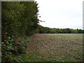
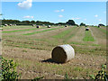
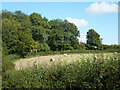
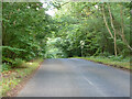
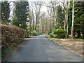
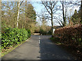
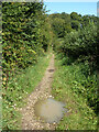
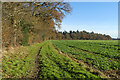
8 photos from this area
Area Information
Key information about the LU6 2ND including its size, population, and administrative classification.
- Area Type
- Postcode
- Area Size
- 1.5 km²
- Population
- 1638
- Population Density
- 99 people/km²
House Prices in LU6 2ND
23
Properties
£787,195
Average Sold Price
£50,000
Lowest Price
£1,800,000
Highest Price
Showing 23 properties
| Address | Type | Beds | Baths | Last Sale Price | Last Sale Date | |
|---|---|---|---|---|---|---|
| 42 Byslips Road, Studham, LU6 2ND | Detached | 4 | 3 | £1,800,000 | Oct 2023 | |
| 40A Byslips Road, Studham, LU6 2ND | Bungalow | - | - | £50,000 | May 2022 | |
| Five Oaks, Byslips Road, Studham, LU6 2ND | house | 4 | - | £1,040,000 | Oct 2017 | |
| Longrove House, 37 Byslips Road, Studham, LU6 2ND | house | - | - | £1,105,000 | Aug 2017 | |
| Tethers End, Byslips Road, Studham, LU6 2ND | house | - | - | £800,000 | Dec 2016 | |
| Glades, Byslips Road, Studham, LU6 2ND | Bungalow | 4 | 2 | £690,000 | Feb 2016 | |
| Honeywick, Byslips Road, Studham, LU6 2ND | Bungalow | 4 | 2 | £710,000 | Jul 2015 | |
| Willowcroft, Byslips Road, Studham, LU6 2ND | Bungalow | 4 | 2 | £580,000 | Sep 2014 | |
| Forest Lodge, Byslips Road, Studham, LU6 2ND | Detached | - | - | £597,000 | Jun 2006 | |
| Beech House, 31 Byslips Road, Studham, LU6 2ND | Detached | - | - | £499,950 | Aug 2000 |
Page 1 of 3
Energy Efficiency in LU6 2ND
Amenities
Schools
| Rank | School | Type | Entry gender | Ages |
|---|
Explore more schools in this area
Go to Schools tabDemographics
Household Size
Two person
most common
Accommodation Type
Houses
most common
Tenure
88
majority
Ethnic Group
White
most common
Religion
N/A
most common
Household Composition
N/A
most common
Age
47
median
Adults (30-64 years)
most common
Household Deprivation
N/A
with no deprivation
NS-SEC
45
in Lower managerial occupations
Explore more demographic insights in this area
Go to Demographics tabPlanning
Planning Constraints
- Flood RiskPremium
- Ramsar Wetland SitesPremium
- Area of Outstanding Natural BeautyPremium
- Protected Nature ReservePremium
- Protected WoodlandPremium