Area Overview for LU6 2NG
Photos of LU6 2NG
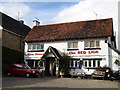
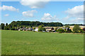
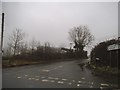
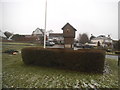
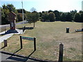
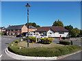
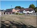
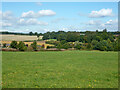
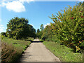
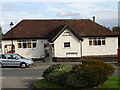
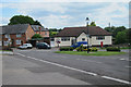
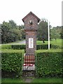
27 photos from this area
Area Information
Key information about the LU6 2NG including its size, population, and administrative classification.
- Area Type
- Postcode
- Area Size
- 2.4 km²
- Population
- 1359
- Population Density
- 41 people/km²
House Prices in LU6 2NG
25
Properties
£1,421,429
Average Sold Price
£565,000
Lowest Price
£3,212,150
Highest Price
Showing 25 properties
| Address | Type | Beds | Baths | Last Sale Price | Last Sale Date | |
|---|---|---|---|---|---|---|
| 22 Clements End Road, Studham, LU6 2NG | Bungalow | 2 | 3 | £615,000 | Jan 2023 | |
| 26 Clements End Road, Studham, LU6 2NG | house | - | - | £565,000 | Jan 2023 | |
| 28 Clements End Road, Studham, LU6 2NG | house | - | - | £990,000 | Jan 2023 | |
| 32 Clements End Road, Studham, LU6 2NG | house | - | - | £1,395,000 | Nov 2022 | |
| 24 Clements End Road, Studham, LU6 2NG | house | - | - | £600,000 | Nov 2022 | |
| 34 Clements End Road, Studham, LU6 2NG | house | - | - | £995,000 | Oct 2022 | |
| Sunset Meadow, Clements End Road, Studham, LU6 2NG | Detached | 6 | 5 | £1,885,000 | Sep 2021 | |
| Moonlight Meadow, Clements End Road, Studham, LU6 2NG | house | - | - | £1,830,000 | Jun 2021 | |
| Ash Tree House, Clements End Road, Studham, LU6 2NG | Detached | 5 | 4 | £2,990,000 | Mar 2021 | |
| Clements End House, Clements End Road, Studham, LU6 2NG | Detached | - | - | £3,212,150 | Jul 2020 |
Page 1 of 3
Energy Efficiency in LU6 2NG
Amenities
Schools
| Rank | School | Type | Entry gender | Ages |
|---|
Explore more schools in this area
Go to Schools tabDemographics
Household Size
Two person
most common
Accommodation Type
Houses
most common
Tenure
68
majority
Ethnic Group
White
most common
Religion
N/A
most common
Household Composition
N/A
most common
Age
47
median
Adults (30-64 years)
most common
Household Deprivation
N/A
with no deprivation
NS-SEC
41
in Lower managerial occupations
Explore more demographic insights in this area
Go to Demographics tabPlanning
Planning Constraints
- Flood RiskPremium
- Ramsar Wetland SitesPremium
- Area of Outstanding Natural BeautyPremium
- Protected Nature ReservePremium
- Protected WoodlandPremium