Area Overview for LU6 2AA
Photos of LU6 2AA
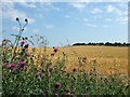
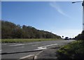
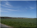
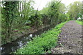

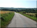
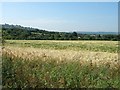
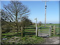
19 photos from this area
Area Information
Key information about the LU6 2AA including its size, population, and administrative classification.
- Area Type
- Postcode
- Area Size
- 32.8 hectares
- Population
- 1196
- Population Density
- 161 people/km²
House Prices in LU6 2AA
29
Properties
£753,717
Average Sold Price
£450,000
Lowest Price
£1,070,000
Highest Price
Showing 29 properties
| Address | Type | Beds | Baths | Last Sale Price | Last Sale Date | |
|---|---|---|---|---|---|---|
| 26 The Avenue, Dunstable, LU6 2AA | Detached | 5 | 3 | £1,070,000 | Feb 2024 | |
| 2A The Avenue, Dunstable, LU6 2AA | Detached | 4 | 2 | £875,000 | Jul 2023 | |
| 13 The Avenue, Dunstable, LU6 2AA | Detached | 5 | 4 | £932,500 | Apr 2023 | |
| 27 The Avenue, Dunstable, LU6 2AA | Retail | 4 | 2 | £850,000 | May 2022 | |
| 20 The Avenue, Dunstable, LU6 2AA | Detached | 6 | 4 | £975,000 | Dec 2021 | |
| 24 The Avenue, Dunstable, LU6 2AA | Detached | 6 | 1 | £800,000 | Nov 2021 | |
| 15 The Avenue, Dunstable, LU6 2AA | Detached | 4 | 2 | £667,500 | May 2019 | |
| 11 The Avenue, Dunstable, LU6 2AA | Detached | 4 | 2 | £770,750 | Mar 2019 | |
| 10 The Avenue, Dunstable, LU6 2AA | Detached | 5 | 2 | £900,000 | Oct 2018 | |
| 12 The Avenue, Dunstable, LU6 2AA | Detached | 5 | 3 | £575,000 | Apr 2014 |
Page 1 of 3
Energy Efficiency in LU6 2AA
Amenities
Schools
| Rank | School | Type | Entry gender | Ages |
|---|
Explore more schools in this area
Go to Schools tabDemographics
Household Size
Two person
most common
Accommodation Type
Houses
most common
Tenure
79
majority
Ethnic Group
White
most common
Religion
N/A
most common
Household Composition
N/A
most common
Age
47
median
Adults (30-64 years)
most common
Household Deprivation
N/A
with no deprivation
NS-SEC
36
in Lower managerial occupations
Explore more demographic insights in this area
Go to Demographics tabPlanning
Planning Constraints
- Flood RiskPremium
- Ramsar Wetland SitesPremium
- Area of Outstanding Natural BeautyPremium
- Protected Nature ReservePremium
- Protected WoodlandPremium