Area Overview for LU5 5FG
Photos of LU5 5FG
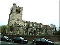
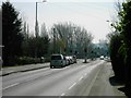
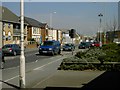
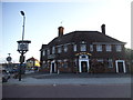
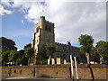
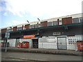
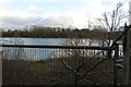
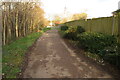
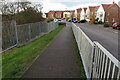
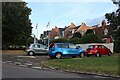
21 photos from this area
Area Information
Key information about the LU5 5FG including its size, population, and administrative classification.
- Area Type
- Postcode
- Area Size
- 8628 m²
- Population
- 2386
- Population Density
- 423 people/km²
House Prices in LU5 5FG
23
Properties
£230,324
Average Sold Price
£140,000
Lowest Price
£397,000
Highest Price
Showing 23 properties
| Address | Type | Beds | Baths | Last Sale Price | Last Sale Date | |
|---|---|---|---|---|---|---|
| 18 Farriers Way, Houghton Regis, LU5 5FG | Semi-detached | 3 | 2 | £397,000 | Oct 2025 | |
| 6 Farriers Way, Houghton Regis, LU5 5FG | Semi-detached | 2 | 1 | £295,000 | Jul 2023 | |
| 2 Farriers Way, Houghton Regis, LU5 5FG | house | - | - | £292,000 | Nov 2021 | |
| 44 Farriers Way, Houghton Regis, LU5 5FG | Detached | 3 | 3 | £340,000 | Jun 2021 | |
| 14 Farriers Way, Houghton Regis, LU5 5FG | Semi-detached | 3 | 2 | £300,000 | Jun 2020 | |
| 8 Farriers Way, Houghton Regis, LU5 5FG | house | 2 | 1 | £260,000 | Jan 2019 | |
| 38 Farriers Way, Houghton Regis, LU5 5FG | house | - | - | £310,000 | Sep 2017 | |
| 36 Farriers Way, Houghton Regis, LU5 5FG | Detached | 3 | 2 | £248,500 | Jun 2017 | |
| 28 Farriers Way, Houghton Regis, LU5 5FG | Semi-detached | 3 | 1 | £270,000 | Jun 2017 | |
| 22 Farriers Way, Houghton Regis, LU5 5FG | Semi-detached | 3 | 2 | £247,000 | Aug 2015 |
Page 1 of 3
Energy Efficiency in LU5 5FG
Amenities
Schools
| Rank | School | Type | Entry gender | Ages |
|---|
Explore more schools in this area
Go to Schools tabDemographics
Household Size
Family (3-5 people)
most common
Accommodation Type
Houses
most common
Tenure
84
majority
Ethnic Group
White
most common
Religion
N/A
most common
Household Composition
N/A
most common
Age
47
median
Adults (30-64 years)
most common
Household Deprivation
N/A
with no deprivation
NS-SEC
35
in Lower managerial occupations
Explore more demographic insights in this area
Go to Demographics tabPlanning
Planning Constraints
- Flood RiskPremium
- Ramsar Wetland SitesPremium
- Area of Outstanding Natural BeautyPremium
- Protected Nature ReservePremium
- Protected WoodlandPremium