Area Overview for LU5 5FF
Photos of LU5 5FF
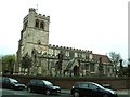
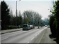
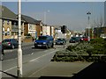
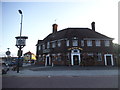
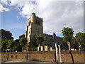
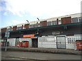
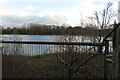
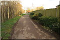
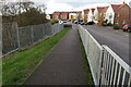
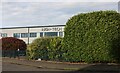
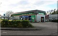
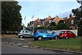
21 photos from this area
Area Information
Key information about the LU5 5FF including its size, population, and administrative classification.
- Area Type
- Postcode
- Area Size
- 7.0 hectares
- Population
- 2386
- Population Density
- 423 people/km²
House Prices in LU5 5FF
29
Properties
£252,553
Average Sold Price
£145,000
Lowest Price
£354,000
Highest Price
Showing 29 properties
| Address | Type | Beds | Baths | Last Sale Price | Last Sale Date | |
|---|---|---|---|---|---|---|
| 31 Farriers Way, Houghton Regis, LU5 5FF | Detached | 3 | 2 | £350,000 | Nov 2024 | |
| 23 Farriers Way, Houghton Regis, LU5 5FF | Terraced | 2 | 1 | £306,000 | Jan 2023 | |
| 27 Farriers Way, Houghton Regis, LU5 5FF | Terraced | 2 | 1 | £300,000 | Oct 2022 | |
| 39 Farriers Way, Houghton Regis, LU5 5FF | Retail | 3 | 2 | £354,000 | Jun 2022 | |
| 9 Farriers Way, Houghton Regis, LU5 5FF | Semi-detached | 2 | - | £250,000 | Jan 2021 | |
| 25 Farriers Way, Houghton Regis, LU5 5FF | Terraced | 2 | 1 | £210,000 | Jan 2021 | |
| 3 Farriers Way, Houghton Regis, LU5 5FF | Retail | 2 | 1 | £305,000 | Oct 2020 | |
| 15 Farriers Way, Houghton Regis, LU5 5FF | Detached | 3 | 2 | £286,000 | Aug 2020 | |
| 21 Farriers Way, Houghton Regis, LU5 5FF | Detached | 2 | 1 | £319,000 | Nov 2018 | |
| 35 Farriers Way, Houghton Regis, LU5 5FF | house | - | - | £279,000 | Jul 2018 |
Page 1 of 3
Energy Efficiency in LU5 5FF
Amenities
Schools
| Rank | School | Type | Entry gender | Ages |
|---|
Explore more schools in this area
Go to Schools tabDemographics
Household Size
Family (3-5 people)
most common
Accommodation Type
Houses
most common
Tenure
84
majority
Ethnic Group
White
most common
Religion
N/A
most common
Household Composition
N/A
most common
Age
47
median
Adults (30-64 years)
most common
Household Deprivation
N/A
with no deprivation
NS-SEC
35
in Lower managerial occupations
Explore more demographic insights in this area
Go to Demographics tabPlanning
Planning Constraints
- Flood RiskPremium
- Ramsar Wetland SitesPremium
- Area of Outstanding Natural BeautyPremium
- Protected Nature ReservePremium
- Protected WoodlandPremium