Area Overview for LU5 4NQ
Photos of LU5 4NQ
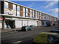
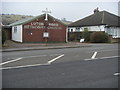
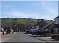
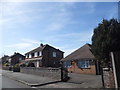
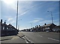
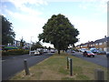

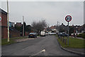
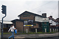
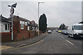
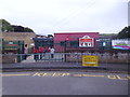
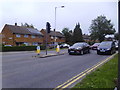
25 photos from this area
Area Information
Key information about the LU5 4NQ including its size, population, and administrative classification.
- Area Type
- Postcode
- Area Size
- 2.0 hectares
- Population
- 1393
- Population Density
- 5846 people/km²
House Prices in LU5 4NQ
55
Properties
£218,095
Average Sold Price
£73,500
Lowest Price
£400,000
Highest Price
Showing 55 properties
| Address | Type | Beds | Baths | Last Sale Price | Last Sale Date | |
|---|---|---|---|---|---|---|
| 58 Evelyn Road, Dunstable, LU5 4NQ | Semi-detached | 3 | 1 | £356,250 | Jun 2025 | |
| 91 Evelyn Road, Dunstable, LU5 4NQ | Semi-detached | 3 | 1 | £317,500 | Apr 2025 | |
| 82 Evelyn Road, Dunstable, LU5 4NQ | Semi-detached | 3 | 1 | £334,000 | Aug 2023 | |
| 96 Evelyn Road, Dunstable, LU5 4NQ | Semi-detached | 3 | 1 | £267,000 | Dec 2020 | |
| 50 Evelyn Road, Dunstable, LU5 4NQ | house | - | - | £320,000 | Nov 2020 | |
| 92 Evelyn Road, Dunstable, LU5 4NQ | Semi-detached | 3 | 1 | £285,000 | May 2020 | |
| 90 Evelyn Road, Dunstable, LU5 4NQ | Semi-detached | 3 | 2 | £290,000 | Dec 2019 | |
| 86 Evelyn Road, Dunstable, LU5 4NQ | Semi-detached | 4 | 3 | £400,000 | Sep 2019 | |
| 56 Evelyn Road, Dunstable, LU5 4NQ | Semi-detached | 3 | 1 | £238,000 | Jul 2019 | |
| 83 Evelyn Road, Dunstable, LU5 4NQ | Semi-detached | 4 | 2 | £310,000 | Dec 2018 |
Page 1 of 6
Energy Efficiency in LU5 4NQ
Amenities
Schools
| Rank | School | Type | Entry gender | Ages |
|---|
Explore more schools in this area
Go to Schools tabDemographics
Household Size
Family (3-5 people)
most common
Accommodation Type
Houses
most common
Tenure
91
majority
Ethnic Group
White
most common
Religion
N/A
most common
Household Composition
N/A
most common
Age
47
median
Adults (30-64 years)
most common
Household Deprivation
N/A
with no deprivation
NS-SEC
31
in Lower managerial occupations
Explore more demographic insights in this area
Go to Demographics tabPlanning
Planning Constraints
- Flood RiskPremium
- Ramsar Wetland SitesPremium
- Area of Outstanding Natural BeautyPremium
- Protected Nature ReservePremium
- Protected WoodlandPremium