Area Overview for LU5 4NG
Photos of LU5 4NG
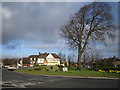
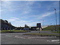
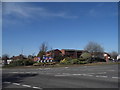
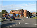
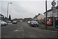
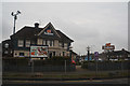
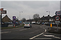
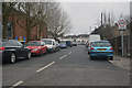
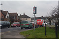

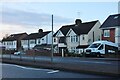
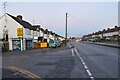
20 photos from this area
Area Information
Key information about the LU5 4NG including its size, population, and administrative classification.
- Area Type
- Postcode
- Area Size
- 2.3 hectares
- Population
- 1978
- Population Density
- 5128 people/km²
House Prices in LU5 4NG
44
Properties
£194,796
Average Sold Price
£55,800
Lowest Price
£420,000
Highest Price
Showing 44 properties
| Address | Type | Beds | Baths | Last Sale Price | Last Sale Date | |
|---|---|---|---|---|---|---|
| 24 Evelyn Road, Dunstable, LU5 4NG | Semi-detached | 3 | 1 | £350,000 | May 2024 | |
| 41 Evelyn Road, Dunstable, LU5 4NG | house | - | - | £310,000 | Nov 2021 | |
| 9 Evelyn Road, Dunstable, LU5 4NG | house | - | - | £420,000 | Sep 2021 | |
| 29 Evelyn Road, Dunstable, LU5 4NG | house | - | - | £267,000 | Feb 2020 | |
| 6 Evelyn Road, Dunstable, LU5 4NG | Semi-detached | 3 | 1 | £258,000 | Dec 2019 | |
| 27 Evelyn Road, Dunstable, LU5 4NG | Detached | 3 | 1 | £306,000 | Feb 2019 | |
| 5 Evelyn Road, Dunstable, LU5 4NG | house | - | - | £290,000 | Feb 2018 | |
| 47 Evelyn Road, Dunstable, LU5 4NG | Semi-detached | 3 | 2 | £295,000 | Apr 2017 | |
| 42 Evelyn Road, Dunstable, LU5 4NG | house | 3 | - | £239,000 | Jul 2013 | |
| 38 Evelyn Road, Dunstable, LU5 4NG | house | 3 | - | £182,500 | Mar 2012 |
Page 1 of 5
Energy Efficiency in LU5 4NG
Amenities
Schools
| Rank | School | Type | Entry gender | Ages |
|---|
Explore more schools in this area
Go to Schools tabDemographics
Household Size
Family (3-5 people)
most common
Accommodation Type
Houses
most common
Tenure
80
majority
Ethnic Group
White
most common
Religion
N/A
most common
Household Composition
N/A
most common
Age
47
median
Adults (30-64 years)
most common
Household Deprivation
N/A
with no deprivation
NS-SEC
32
in Lower managerial occupations
Explore more demographic insights in this area
Go to Demographics tabPlanning
Planning Constraints
- Flood RiskPremium
- Ramsar Wetland SitesPremium
- Area of Outstanding Natural BeautyPremium
- Protected Nature ReservePremium
- Protected WoodlandPremium