Area Overview for LU5 4LE
Photos of LU5 4LE
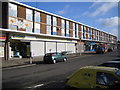
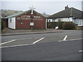
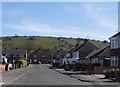
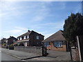
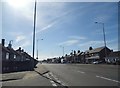
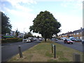

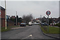
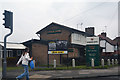
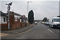
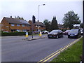
25 photos from this area
Area Information
Key information about the LU5 4LE including its size, population, and administrative classification.
- Area Type
- Postcode
- Area Size
- 1.5 hectares
- Population
- 1510
- Population Density
- 5603 people/km²
House Prices in LU5 4LE
35
Properties
£160,227
Average Sold Price
£44,995
Lowest Price
£255,000
Highest Price
Showing 35 properties
| Address | Type | Beds | Baths | Last Sale Price | Last Sale Date | |
|---|---|---|---|---|---|---|
| 148 Luton Road, Dunstable, LU5 4LE | Semi-detached | 3 | 1 | £220,000 | Oct 2019 | |
| 154 Luton Road, Dunstable, LU5 4LE | Semi-detached | 2 | 1 | £245,000 | Sep 2019 | |
| 214 Luton Road, Dunstable, LU5 4LE | Bungalow | 2 | - | £225,000 | Aug 2019 | |
| 156 Luton Road, Dunstable, LU5 4LE | Semi-detached | 2 | 1 | £255,000 | Jan 2018 | |
| 160 Luton Road, Dunstable, LU5 4LE | Semi-detached | 3 | 1 | £245,000 | Dec 2015 | |
| 150 Luton Road, Dunstable, LU5 4LE | house | 3 | 1 | £207,500 | Jun 2015 | |
| 194 Luton Road, Dunstable, LU5 4LE | Semi-detached | 3 | - | £178,000 | Jun 2014 | |
| 182 Luton Road, Dunstable, LU5 4LE | house | - | - | £225,000 | Dec 2013 | |
| 190 Luton Road, Dunstable, LU5 4LE | house | 3 | - | £149,000 | Aug 2013 | |
| 186 Luton Road, Dunstable, LU5 4LE | house | - | - | £165,000 | May 2010 |
Page 1 of 4
Energy Efficiency in LU5 4LE
Amenities
Schools
| Rank | School | Type | Entry gender | Ages |
|---|
Explore more schools in this area
Go to Schools tabDemographics
Household Size
Family (3-5 people)
most common
Accommodation Type
Houses
most common
Tenure
85
majority
Ethnic Group
White
most common
Religion
N/A
most common
Household Composition
N/A
most common
Age
47
median
Adults (30-64 years)
most common
Household Deprivation
N/A
with no deprivation
NS-SEC
32
in Lower managerial occupations
Explore more demographic insights in this area
Go to Demographics tabPlanning
Planning Constraints
- Flood RiskPremium
- Ramsar Wetland SitesPremium
- Area of Outstanding Natural BeautyPremium
- Protected Nature ReservePremium
- Protected WoodlandPremium