Area Overview for LU4 8HE
Photos of LU4 8HE
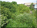
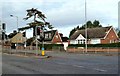
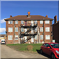
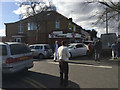
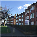
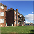
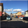
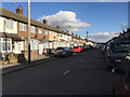
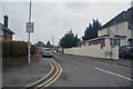
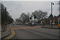
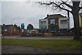
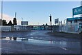
22 photos from this area
Area Information
Key information about the LU4 8HE including its size, population, and administrative classification.
- Area Type
- Postcode
- Area Size
- 1.4 hectares
- Population
- 2204
- Population Density
- 9857 people/km²
House Prices in LU4 8HE
41
Properties
£129,952
Average Sold Price
£29,500
Lowest Price
£335,000
Highest Price
Showing 41 properties
| Address | Type | Beds | Baths | Last Sale Price | Last Sale Date | |
|---|---|---|---|---|---|---|
| 44 Carisbrooke Road, Luton, LU4 8HE | Terraced | 3 | 1 | £260,000 | Sep 2024 | |
| 62 Carisbrooke Road, Luton, LU4 8HE | house | - | - | £335,000 | Sep 2022 | |
| 8 Carisbrooke Road, Luton, LU4 8HE | house | - | - | £212,000 | Jan 2021 | |
| 76 Carisbrooke Road, Luton, LU4 8HE | Terraced | 3 | 1 | £250,000 | Feb 2019 | |
| 34 Carisbrooke Road, Luton, LU4 8HE | house | 3 | - | £147,000 | Feb 2013 | |
| 58 Carisbrooke Road, Luton, LU4 8HE | house | - | - | £144,000 | Mar 2010 | |
| 46 Carisbrooke Road, Luton, LU4 8HE | Terraced | - | - | £155,000 | Jun 2007 | |
| 22 Carisbrooke Road, Luton, LU4 8HE | Terraced | - | - | £140,000 | Nov 2006 | |
| 36 Carisbrooke Road, Luton, LU4 8HE | house | - | - | £151,995 | Sep 2006 | |
| 4 Carisbrooke Road, Luton, LU4 8HE | house | - | - | £133,000 | Mar 2006 |
Page 1 of 5
Energy Efficiency in LU4 8HE
Amenities
Schools
| Rank | School | Type | Entry gender | Ages |
|---|
Explore more schools in this area
Go to Schools tabDemographics
Household Size
Family (3-5 people)
most common
Accommodation Type
Houses
most common
Tenure
63
majority
Ethnic Group
asian_total
most common
Religion
N/A
most common
Household Composition
N/A
most common
Age
22
median
Adults (30-64 years)
most common
Household Deprivation
N/A
with no deprivation
NS-SEC
19
in Lower managerial occupations
Explore more demographic insights in this area
Go to Demographics tabPlanning
Planning Constraints
- Flood RiskPremium
- Ramsar Wetland SitesPremium
- Area of Outstanding Natural BeautyPremium
- Protected Nature ReservePremium
- Protected WoodlandPremium