Area Overview for LU4 0PE
Photos of LU4 0PE
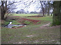
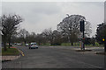
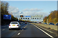
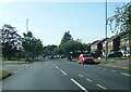


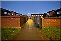
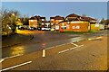
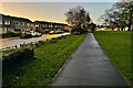
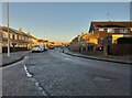
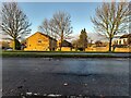
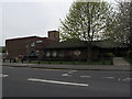
24 photos from this area
Area Information
Key information about the LU4 0PE including its size, population, and administrative classification.
- Area Type
- Postcode
- Area Size
- 2.9 hectares
- Population
- 1468
- Population Density
- 4510 people/km²
House Prices in LU4 0PE
61
Properties
£170,075
Average Sold Price
£42,000
Lowest Price
£350,000
Highest Price
Showing 61 properties
| Address | Type | Beds | Baths | Last Sale Price | Last Sale Date | |
|---|---|---|---|---|---|---|
| 117 Pastures Way, Luton, LU4 0PE | Terraced | 3 | 1 | £350,000 | Jul 2025 | |
| 91 Pastures Way, Luton, LU4 0PE | Semi-detached | 3 | 1 | £340,000 | Mar 2025 | |
| 47 Pastures Way, Luton, LU4 0PE | Semi-detached | 3 | 1 | £326,000 | Jul 2024 | |
| 95 Pastures Way, Luton, LU4 0PE | Semi-detached | 3 | 1 | £275,000 | Jun 2024 | |
| 55 Pastures Way, Luton, LU4 0PE | Semi-detached | 4 | 2 | £317,500 | Apr 2024 | |
| 137 Pastures Way, Luton, LU4 0PE | Semi-detached | 3 | 1 | £250,000 | May 2023 | |
| 129 Pastures Way, Luton, LU4 0PE | Terraced | 3 | 1 | £200,000 | Mar 2023 | |
| 71 Pastures Way, Luton, LU4 0PE | house | 3 | 1 | £315,000 | Mar 2022 | |
| 147 Pastures Way, Luton, LU4 0PE | Terraced | 3 | 1 | £260,000 | Sep 2017 | |
| 149 Pastures Way, Luton, LU4 0PE | Terraced | 3 | 1 | £250,000 | May 2017 |
Page 1 of 7
Energy Efficiency in LU4 0PE
Amenities
Schools
| Rank | School | Type | Entry gender | Ages |
|---|
Explore more schools in this area
Go to Schools tabDemographics
Household Size
One person
most common
Accommodation Type
Houses
most common
Tenure
39
majority
Ethnic Group
White
most common
Religion
N/A
most common
Household Composition
N/A
most common
Age
47
median
Adults (30-64 years)
most common
Household Deprivation
N/A
with no deprivation
NS-SEC
20
in Lower managerial occupations
Explore more demographic insights in this area
Go to Demographics tabPlanning
Planning Constraints
- Flood RiskPremium
- Ramsar Wetland SitesPremium
- Area of Outstanding Natural BeautyPremium
- Protected Nature ReservePremium
- Protected WoodlandPremium