Area Overview for LU3 2JJ
Photos of LU3 2JJ
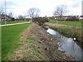
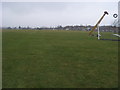
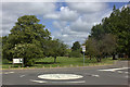
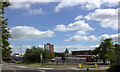
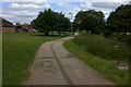
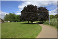
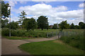
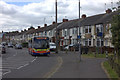
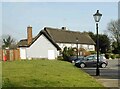
9 photos from this area
Area Information
Key information about the LU3 2JJ including its size, population, and administrative classification.
- Area Type
- Postcode
- Area Size
- 1.5 hectares
- Population
- 1671
- Population Density
- 5280 people/km²
House Prices in LU3 2JJ
29
Properties
£247,500
Average Sold Price
£127,000
Lowest Price
£350,000
Highest Price
Showing 29 properties
| Address | Type | Beds | Baths | Last Sale Price | Last Sale Date | |
|---|---|---|---|---|---|---|
| 50 Neville Road, Luton, LU3 2JJ | Semi-detached | 3 | 1 | £350,000 | May 2025 | |
| 78 Neville Road, Luton, LU3 2JJ | Semi-detached | 3 | 1 | £350,000 | Feb 2023 | |
| 66 Neville Road, Luton, LU3 2JJ | house | - | - | £250,000 | Feb 2023 | |
| 42 Neville Road, Luton, LU3 2JJ | house | - | - | £313,000 | Aug 2022 | |
| 68 Neville Road, Luton, LU3 2JJ | Semi-detached | 3 | - | £285,000 | Jun 2020 | |
| 74 Neville Road, Luton, LU3 2JJ | house | - | - | £255,000 | Oct 2019 | |
| 44 Neville Road, Luton, LU3 2JJ | Semi-detached | 3 | 1 | £280,000 | Oct 2019 | |
| 76 Neville Road, Luton, LU3 2JJ | house | - | - | £265,000 | Jun 2019 | |
| 56 Neville Road, Luton, LU3 2JJ | house | - | - | £275,000 | May 2019 | |
| 72 Neville Road, Luton, LU3 2JJ | house | - | - | £251,500 | Mar 2019 |
Page 1 of 3
Energy Efficiency in LU3 2JJ
Amenities
Schools
| Rank | School | Type | Entry gender | Ages |
|---|
Explore more schools in this area
Go to Schools tabDemographics
Household Size
Family (3-5 people)
most common
Accommodation Type
Houses
most common
Tenure
83
majority
Ethnic Group
White
most common
Religion
N/A
most common
Household Composition
N/A
most common
Age
47
median
Adults (30-64 years)
most common
Household Deprivation
N/A
with no deprivation
NS-SEC
23
in Lower managerial occupations
Explore more demographic insights in this area
Go to Demographics tabPlanning
Planning Constraints
- Flood RiskPremium
- Ramsar Wetland SitesPremium
- Area of Outstanding Natural BeautyPremium
- Protected Nature ReservePremium
- Protected WoodlandPremium