Area Overview for LU2 9RE
Photos of LU2 9RE
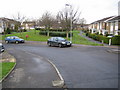

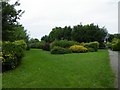
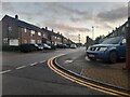
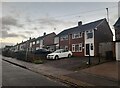
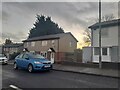
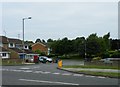
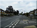
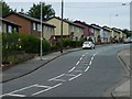
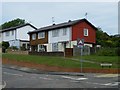
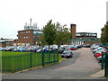
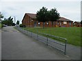
23 photos from this area
Area Information
Key information about the LU2 9RE including its size, population, and administrative classification.
- Area Type
- Postcode
- Area Size
- 2.5 hectares
- Population
- 1708
- Population Density
- 4778 people/km²
House Prices in LU2 9RE
45
Properties
£263,786
Average Sold Price
£62,000
Lowest Price
£440,000
Highest Price
Showing 45 properties
| Address | Type | Beds | Baths | Last Sale Price | Last Sale Date | |
|---|---|---|---|---|---|---|
| 195 Buckingham Drive, Luton, LU2 9RE | Detached | 4 | 1 | £440,000 | Mar 2025 | |
| 163 Buckingham Drive, Luton, LU2 9RE | Semi-detached | 3 | 1 | £325,000 | Jun 2024 | |
| 176 Buckingham Drive, Luton, LU2 9RE | house | - | - | £340,000 | May 2024 | |
| 171 Buckingham Drive, Luton, LU2 9RE | Semi-detached | 3 | 1 | £292,500 | Dec 2023 | |
| 181 Buckingham Drive, Luton, LU2 9RE | Semi-detached | 3 | 1 | £302,500 | Jun 2023 | |
| 167 Buckingham Drive, Luton, LU2 9RE | Semi-detached | 3 | 1 | £310,000 | Dec 2022 | |
| 169 Buckingham Drive, Luton, LU2 9RE | Semi-detached | 3 | 1 | £300,000 | Mar 2022 | |
| 179 Buckingham Drive, Luton, LU2 9RE | Semi-detached | 3 | 1 | £324,000 | Dec 2021 | |
| 173 Buckingham Drive, Luton, LU2 9RE | house | - | - | £360,000 | Dec 2021 | |
| 170 Buckingham Drive, Luton, LU2 9RE | Detached | 3 | 2 | £322,500 | Feb 2021 |
Page 1 of 5
Energy Efficiency in LU2 9RE
Amenities
Schools
| Rank | School | Type | Entry gender | Ages |
|---|
Explore more schools in this area
Go to Schools tabDemographics
Household Size
Family (3-5 people)
most common
Accommodation Type
Houses
most common
Tenure
61
majority
Ethnic Group
White
most common
Religion
N/A
most common
Household Composition
N/A
most common
Age
47
median
Adults (30-64 years)
most common
Household Deprivation
N/A
with no deprivation
NS-SEC
22
in Lower managerial occupations
Explore more demographic insights in this area
Go to Demographics tabPlanning
Planning Constraints
- Flood RiskPremium
- Ramsar Wetland SitesPremium
- Area of Outstanding Natural BeautyPremium
- Protected Nature ReservePremium
- Protected WoodlandPremium