Area Overview for LU2 9RB
Photos of LU2 9RB
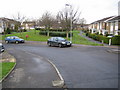
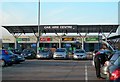
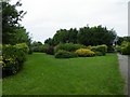
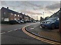
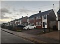
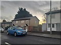
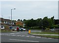
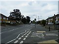
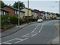
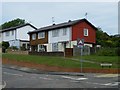
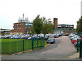
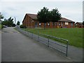
23 photos from this area
Area Information
Key information about the LU2 9RB including its size, population, and administrative classification.
- Area Type
- Postcode
- Area Size
- 3.1 hectares
- Population
- 1424
- Population Density
- 5477 people/km²
House Prices in LU2 9RB
59
Properties
£236,743
Average Sold Price
£57,000
Lowest Price
£401,000
Highest Price
Showing 59 properties
| Address | Type | Beds | Baths | Last Sale Price | Last Sale Date | |
|---|---|---|---|---|---|---|
| 96 Buckingham Drive, Luton, LU2 9RB | Terraced | 3 | 2 | £320,000 | Dec 2023 | |
| 110 Buckingham Drive, Luton, LU2 9RB | Semi-detached | 4 | - | £355,000 | Sep 2023 | |
| 82 Buckingham Drive, Luton, LU2 9RB | Detached | 3 | 1 | £337,500 | Apr 2022 | |
| 92 Buckingham Drive, Luton, LU2 9RB | Terraced | 3 | 1 | £315,000 | Apr 2022 | |
| 98 Buckingham Drive, Luton, LU2 9RB | house | - | - | £310,000 | Jan 2022 | |
| 104 Buckingham Drive, Luton, LU2 9RB | Semi-detached | 3 | 1 | £312,000 | Jan 2021 | |
| 85 Buckingham Drive, Luton, LU2 9RB | house | - | - | £275,000 | Mar 2020 | |
| 101 Buckingham Drive, Luton, LU2 9RB | Detached | 4 | 2 | £401,000 | Jul 2018 | |
| 99 Buckingham Drive, Luton, LU2 9RB | Detached | 4 | 2 | £340,000 | May 2018 | |
| 91 Buckingham Drive, Luton, LU2 9RB | Semi-detached | 4 | 1 | £290,000 | Oct 2017 |
Page 1 of 6
Energy Efficiency in LU2 9RB
Amenities
Schools
| Rank | School | Type | Entry gender | Ages |
|---|
Explore more schools in this area
Go to Schools tabDemographics
Household Size
Family (3-5 people)
most common
Accommodation Type
Houses
most common
Tenure
88
majority
Ethnic Group
White
most common
Religion
N/A
most common
Household Composition
N/A
most common
Age
47
median
Adults (30-64 years)
most common
Household Deprivation
N/A
with no deprivation
NS-SEC
34
in Lower managerial occupations
Explore more demographic insights in this area
Go to Demographics tabPlanning
Planning Constraints
- Flood RiskPremium
- Ramsar Wetland SitesPremium
- Area of Outstanding Natural BeautyPremium
- Protected Nature ReservePremium
- Protected WoodlandPremium