Area Overview for IP9 2NY
Photos of IP9 2NY
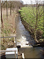
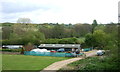
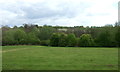
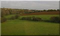
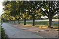

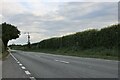
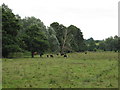
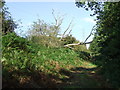
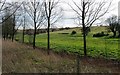
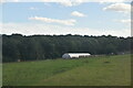
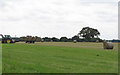
15 photos from this area
Area Information
Key information about the IP9 2NY including its size, population, and administrative classification.
- Area Type
- Postcode
- Area Size
- 92.9 hectares
- Population
- 1344
- Population Density
- 90 people/km²
House Prices in IP9 2NY
8
Properties
£528,000
Average Sold Price
£356,000
Lowest Price
£700,000
Highest Price
Showing 8 properties
| Address | Type | Beds | Baths | Last Sale Price | Last Sale Date | |
|---|---|---|---|---|---|---|
| Nine Oaks, Main Road, Tattingstone, IP9 2NY | Bungalow | - | - | £700,000 | Oct 2012 | |
| Tinkers Hole, Main Road, Tattingstone, IP9 2NY | house | - | - | £356,000 | May 2010 | |
| Braemar, Folly Farm, Main Road, Tattingstone, IP9 2NY | Detached | 6 | - | - | - | |
| Lower Meadows Farm, Main Road, Tattingstone, IP9 2NY | Farm | - | - | - | - | |
| Collins Skip Hire, Folly Farm, Main Road, Tattingstone, IP9 2NY | office_workshop | - | - | - | - | |
| Wallers Farm, Main Road, Tattingstone, IP9 2NY | Detached | - | - | - | - | |
| Folly Farm House, Main Road, Tattingstone, IP9 2NY | Farm | 7 | - | - | - | |
| The Thatch, Main Road, Tattingstone, IP9 2NY | Detached | - | - | - | - |
Energy Efficiency in IP9 2NY
Amenities
Schools
| Rank | School | Type | Entry gender | Ages |
|---|
Explore more schools in this area
Go to Schools tabDemographics
Household Size
Two person
most common
Accommodation Type
Houses
most common
Tenure
76
majority
Ethnic Group
White
most common
Religion
N/A
most common
Household Composition
N/A
most common
Age
47
median
Adults (30-64 years)
most common
Household Deprivation
N/A
with no deprivation
NS-SEC
42
in Lower managerial occupations
Explore more demographic insights in this area
Go to Demographics tabPlanning
Planning Constraints
- Flood RiskPremium
- Ramsar Wetland SitesPremium
- Area of Outstanding Natural BeautyPremium
- Protected Nature ReservePremium
- Protected WoodlandPremium