Area Overview for CO11 1PN
Photos of CO11 1PN
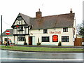
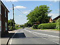
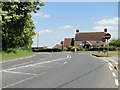
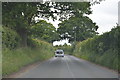
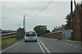
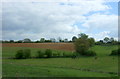
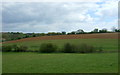
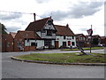
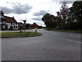
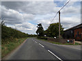
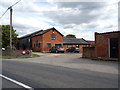
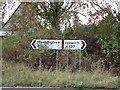
39 photos from this area
Area Information
Key information about the CO11 1PN including its size, population, and administrative classification.
- Area Type
- Postcode
- Area Size
- 31.1 hectares
- Population
- 1456
- Population Density
- 213 people/km²
House Prices in CO11 1PN
9
Properties
£377,000
Average Sold Price
£295,000
Lowest Price
£440,000
Highest Price
Showing 9 properties
| Address | Type | Beds | Baths | Last Sale Price | Last Sale Date | |
|---|---|---|---|---|---|---|
| Spinners Lodge, The Street, Brantham, CO11 1PN | house | 4 | - | £410,000 | Aug 2021 | |
| Alfresco, The Street, Brantham, CO11 1PN | Detached | 4 | 2 | £440,000 | May 2021 | |
| Rose Cottage, The Street, Brantham, CO11 1PN | Detached | 4 | - | £425,000 | Dec 2014 | |
| The Old Post Office, The Street, Brantham, CO11 1PN | Detached | 4 | - | £315,000 | Jun 2014 | |
| Alyssa, The Street, Brantham, CO11 1PN | house | 4 | - | £295,000 | Dec 2013 | |
| Living Accommodation At, The Bull Inn, The Street, Brantham, CO11 1PN | Flat | - | - | - | - | |
| Innisfallen, The Street, Brantham, CO11 1PN | house | - | - | - | - | |
| The Bull Inn, The Street, Brantham, CO11 1PN | Leisure | - | - | - | - | |
| Landooze, The Street, Brantham, CO11 1PN | Detached | - | - | - | - |
Energy Efficiency in CO11 1PN
Amenities
Schools
| Rank | School | Type | Entry gender | Ages |
|---|
Explore more schools in this area
Go to Schools tabDemographics
Household Size
Two person
most common
Accommodation Type
Houses
most common
Tenure
88
majority
Ethnic Group
White
most common
Religion
N/A
most common
Household Composition
N/A
most common
Age
47
median
Adults (30-64 years)
most common
Household Deprivation
N/A
with no deprivation
NS-SEC
40
in Lower managerial occupations
Explore more demographic insights in this area
Go to Demographics tabPlanning
Planning Constraints
- Flood RiskPremium
- Ramsar Wetland SitesPremium
- Area of Outstanding Natural BeautyPremium
- Protected Nature ReservePremium
- Protected WoodlandPremium