Area Overview for IP33 3UN
Photos of IP33 3UN
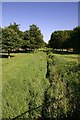
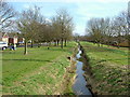
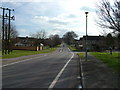
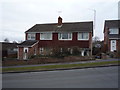
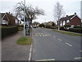
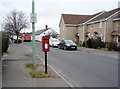
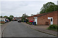
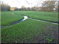
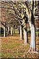
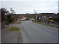
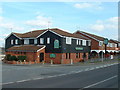
14 photos from this area
Area Information
Key information about the IP33 3UN including its size, population, and administrative classification.
- Area Type
- Postcode
- Area Size
- 1.1 hectares
- Population
- 1596
- Population Density
- 1718 people/km²
House Prices in IP33 3UN
25
Properties
£184,750
Average Sold Price
£40,000
Lowest Price
£316,000
Highest Price
Showing 25 properties
| Address | Type | Beds | Baths | Last Sale Price | Last Sale Date | |
|---|---|---|---|---|---|---|
| 98 Abbot Road, Bury St Edmunds, IP33 3UN | Bungalow | 3 | - | £290,000 | Nov 2023 | |
| 93 Abbot Road, Bury St Edmunds, IP33 3UN | house | - | - | £310,000 | Jun 2021 | |
| 91 Abbot Road, Bury St Edmunds, IP33 3UN | house | - | - | £315,000 | Jan 2020 | |
| 96 Abbot Road, Bury St Edmunds, IP33 3UN | Bungalow | 3 | 1 | £316,000 | Dec 2019 | |
| 90 Abbot Road, Bury St Edmunds, IP33 3UN | Semi-detached | 3 | - | £206,000 | Mar 2015 | |
| 106 Abbot Road, Bury St Edmunds, IP33 3UN | Bungalow | 2 | - | £230,000 | Nov 2013 | |
| 86 Abbot Road, Bury St Edmunds, IP33 3UN | house | - | - | £188,000 | Sep 2010 | |
| 104 Abbot Road, Bury St Edmunds, IP33 3UN | Bungalow | 2 | - | £180,000 | Jun 2009 | |
| 94 Abbot Road, Bury St Edmunds, IP33 3UN | Detached | - | - | £211,500 | Dec 2006 | |
| 97 Abbot Road, Bury St Edmunds, IP33 3UN | Semi-detached | - | - | £152,000 | Mar 2006 |
Page 1 of 3
Energy Efficiency in IP33 3UN
Amenities
Schools
| Rank | School | Type | Entry gender | Ages |
|---|
Explore more schools in this area
Go to Schools tabDemographics
Household Size
Two person
most common
Accommodation Type
Houses
most common
Tenure
79
majority
Ethnic Group
White
most common
Religion
N/A
most common
Household Composition
N/A
most common
Age
47
median
Adults (30-64 years)
most common
Household Deprivation
N/A
with no deprivation
NS-SEC
38
in Lower managerial occupations
Explore more demographic insights in this area
Go to Demographics tabPlanning
Planning Constraints
- Flood RiskPremium
- Ramsar Wetland SitesPremium
- Area of Outstanding Natural BeautyPremium
- Protected Nature ReservePremium
- Protected WoodlandPremium