Area Overview for IP33 3UE
Photos of IP33 3UE
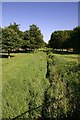
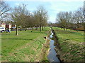
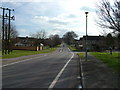
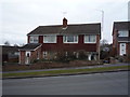
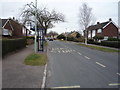
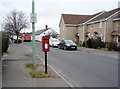
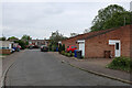
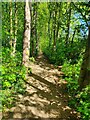
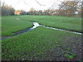
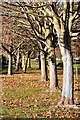
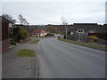
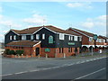
14 photos from this area
Area Information
Key information about the IP33 3UE including its size, population, and administrative classification.
- Area Type
- Postcode
- Area Size
- 5789 m²
- Population
- 1467
- Population Density
- 2741 people/km²
House Prices in IP33 3UE
22
Properties
£196,416
Average Sold Price
£55,000
Lowest Price
£330,000
Highest Price
Showing 22 properties
| Address | Type | Beds | Baths | Last Sale Price | Last Sale Date | |
|---|---|---|---|---|---|---|
| 79 Abbot Road, Bury St Edmunds, IP33 3UE | Semi-detached | 3 | 2 | £330,000 | Mar 2025 | |
| 65 Abbot Road, Bury St Edmunds, IP33 3UE | Terraced | 3 | 2 | £300,000 | Jun 2023 | |
| 73 Abbot Road, Bury St Edmunds, IP33 3UE | house | - | - | £260,000 | Nov 2021 | |
| 71 Abbot Road, Bury St Edmunds, IP33 3UE | Semi-detached | 3 | 2 | £260,000 | Jan 2019 | |
| 77 Abbot Road, Bury St Edmunds, IP33 3UE | Semi-detached | 3 | - | £181,000 | Feb 2014 | |
| 61 Abbot Road, Bury St Edmunds, IP33 3UE | Terraced | 2 | - | £156,000 | Oct 2013 | |
| Pump House, 67 Abbot Road, Bury St Edmunds, IP33 3UE | house | 3 | - | £189,000 | Nov 2012 | |
| 69 Abbot Road, Bury St Edmunds, IP33 3UE | Semi-detached | - | - | £170,000 | Feb 2006 | |
| 63 Abbot Road, Bury St Edmunds, IP33 3UE | house | 2 | 1 | £163,000 | Oct 2004 | |
| 82 Abbot Road, Bury St Edmunds, IP33 3UE | Semi-detached | - | - | £183,000 | Apr 2004 |
Page 1 of 3
Energy Efficiency in IP33 3UE
Amenities
Schools
| Rank | School | Type | Entry gender | Ages |
|---|
Explore more schools in this area
Go to Schools tabDemographics
Household Size
Two person
most common
Accommodation Type
Houses
most common
Tenure
81
majority
Ethnic Group
White
most common
Religion
N/A
most common
Household Composition
N/A
most common
Age
47
median
Elderly (65+ years)
most common
Household Deprivation
N/A
with no deprivation
NS-SEC
43
in Lower managerial occupations
Explore more demographic insights in this area
Go to Demographics tabPlanning
Planning Constraints
- Flood RiskPremium
- Ramsar Wetland SitesPremium
- Area of Outstanding Natural BeautyPremium
- Protected Nature ReservePremium
- Protected WoodlandPremium