Area Overview for IP33 2DB
Photos of IP33 2DB
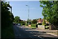
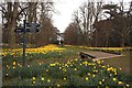
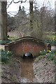
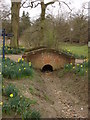
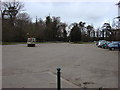
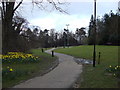
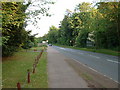
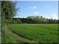
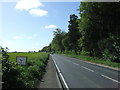
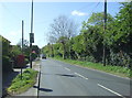
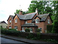
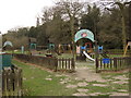
21 photos from this area
Area Information
Key information about the IP33 2DB including its size, population, and administrative classification.
- Area Type
- Postcode
- Area Size
- 3.2 hectares
- Population
- 1267
- Population Density
- 918 people/km²
House Prices in IP33 2DB
24
Properties
£241,583
Average Sold Price
£71,000
Lowest Price
£446,500
Highest Price
Showing 24 properties
| Address | Type | Beds | Baths | Last Sale Price | Last Sale Date | |
|---|---|---|---|---|---|---|
| 7 Victory Close, Bury St Edmunds, IP33 2DB | house | - | - | £262,500 | Nov 2025 | |
| 16 Victory Close, Bury St Edmunds, IP33 2DB | house | - | - | £320,000 | May 2024 | |
| 6 Victory Close, Bury St Edmunds, IP33 2DB | Semi-detached | 4 | 2 | £370,000 | Jul 2022 | |
| 19 Victory Close, Bury St Edmunds, IP33 2DB | house | - | - | £446,500 | Mar 2021 | |
| 15 Victory Close, Bury St Edmunds, IP33 2DB | Semi-detached | 4 | 1 | £277,000 | Jun 2020 | |
| 5 Victory Close, Bury St Edmunds, IP33 2DB | Semi-detached | 4 | 1 | £219,500 | Jan 2015 | |
| 14 Victory Close, Bury St Edmunds, IP33 2DB | Semi-detached | 4 | - | £192,000 | Apr 2013 | |
| 3 Victory Close, Bury St Edmunds, IP33 2DB | house | - | - | £195,000 | Oct 2012 | |
| 2 Victory Close, Bury St Edmunds, IP33 2DB | Semi-detached | - | - | £250,000 | Oct 2007 | |
| 20 Victory Close, Bury St Edmunds, IP33 2DB | Semi-detached | - | - | £157,500 | Jan 2003 |
Page 1 of 3
Energy Efficiency in IP33 2DB
Amenities
Schools
| Rank | School | Type | Entry gender | Ages |
|---|
Explore more schools in this area
Go to Schools tabDemographics
Household Size
Two person
most common
Accommodation Type
Houses
most common
Tenure
79
majority
Ethnic Group
White
most common
Religion
N/A
most common
Household Composition
N/A
most common
Age
47
median
Adults (30-64 years)
most common
Household Deprivation
N/A
with no deprivation
NS-SEC
34
in Lower managerial occupations
Explore more demographic insights in this area
Go to Demographics tabPlanning
Planning Constraints
- Flood RiskPremium
- Ramsar Wetland SitesPremium
- Area of Outstanding Natural BeautyPremium
- Protected Nature ReservePremium
- Protected WoodlandPremium