Area Overview for IP32 7JN
Photos of IP32 7JN
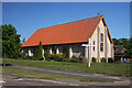
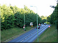
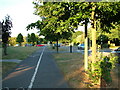
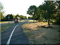
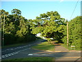
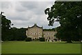


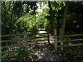
30 photos from this area
Area Information
Key information about the IP32 7JN including its size, population, and administrative classification.
- Area Type
- Postcode
- Area Size
- 1.1 hectares
- Population
- 1126
- Population Density
- 1358 people/km²
House Prices in IP32 7JN
43
Properties
£147,750
Average Sold Price
£54,500
Lowest Price
£302,000
Highest Price
Showing 43 properties
| Address | Type | Beds | Baths | Last Sale Price | Last Sale Date | |
|---|---|---|---|---|---|---|
| 38 Brackenwood Crescent, Bury St Edmunds, IP32 7JN | Terraced | 2 | 1 | £245,000 | Jul 2025 | |
| 23 Brackenwood Crescent, Bury St Edmunds, IP32 7JN | house | 2 | 1 | £216,000 | Apr 2024 | |
| 4 Brackenwood Crescent, Bury St Edmunds, IP32 7JN | house | 3 | 1 | £302,000 | Jul 2023 | |
| 24 Brackenwood Crescent, Bury St Edmunds, IP32 7JN | house | 2 | - | £238,000 | Feb 2023 | |
| 21 Brackenwood Crescent, Bury St Edmunds, IP32 7JN | house | - | - | £212,000 | Apr 2022 | |
| 33 Brackenwood Crescent, Bury St Edmunds, IP32 7JN | Terraced | 2 | 1 | £210,000 | Mar 2022 | |
| 1 Brackenwood Crescent, Bury St Edmunds, IP32 7JN | house | 4 | - | £207,500 | Nov 2020 | |
| 27 Brackenwood Crescent, Bury St Edmunds, IP32 7JN | Semi-detached | 2 | 1 | £203,000 | Sep 2019 | |
| 32 Brackenwood Crescent, Bury St Edmunds, IP32 7JN | Terraced | 3 | - | £240,000 | Dec 2018 | |
| 11 Brackenwood Crescent, Bury St Edmunds, IP32 7JN | house | - | - | £162,500 | Jan 2018 |
Page 1 of 5
Energy Efficiency in IP32 7JN
Amenities
Schools
| Rank | School | Type | Entry gender | Ages |
|---|
Explore more schools in this area
Go to Schools tabDemographics
Household Size
Two person
most common
Accommodation Type
Houses
most common
Tenure
66
majority
Ethnic Group
White
most common
Religion
N/A
most common
Household Composition
N/A
most common
Age
47
median
Adults (30-64 years)
most common
Household Deprivation
N/A
with no deprivation
NS-SEC
42
in Lower managerial occupations
Explore more demographic insights in this area
Go to Demographics tabPlanning
Planning Constraints
- Flood RiskPremium
- Ramsar Wetland SitesPremium
- Area of Outstanding Natural BeautyPremium
- Protected Nature ReservePremium
- Protected WoodlandPremium