Area Overview for IP3 8NG
Photos of IP3 8NG
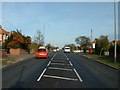
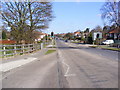
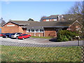
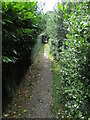
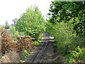
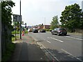
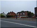
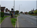
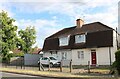
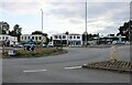
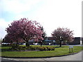
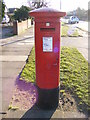
36 photos from this area
Area Information
Key information about the IP3 8NG including its size, population, and administrative classification.
- Area Type
- Postcode
- Area Size
- 9760 m²
- Population
- 1465
- Population Density
- 2649 people/km²
House Prices in IP3 8NG
17
Properties
£276,929
Average Sold Price
£89,000
Lowest Price
£542,500
Highest Price
Showing 17 properties
| Address | Type | Beds | Baths | Last Sale Price | Last Sale Date | |
|---|---|---|---|---|---|---|
| 640 Foxhall Road, Ipswich, IP3 8NG | Semi-detached | 3 | 1 | £335,000 | Nov 2024 | |
| 632 Foxhall Road, Ipswich, IP3 8NG | Bungalow | 3 | 1 | £345,000 | May 2024 | |
| 662 Foxhall Road, Ipswich, IP3 8NG | Detached | 5 | 3 | £542,500 | Feb 2023 | |
| 646 Foxhall Road, Ipswich, IP3 8NG | Bungalow | 3 | - | £375,000 | Mar 2021 | |
| 636 Foxhall Road, Ipswich, IP3 8NG | house | - | - | £295,000 | Mar 2021 | |
| 654 Foxhall Road, Ipswich, IP3 8NG | Bungalow | - | - | £285,000 | Sep 2019 | |
| 638 Foxhall Road, Ipswich, IP3 8NG | Detached | 4 | 3 | £445,000 | Aug 2019 | |
| 648 Foxhall Road, Ipswich, IP3 8NG | house | 4 | 2 | £310,000 | Apr 2013 | |
| 656 Foxhall Road, Ipswich, IP3 8NG | Detached | - | - | £195,500 | Oct 2011 | |
| 658 Foxhall Road, Ipswich, IP3 8NG | Bungalow | 3 | - | £205,000 | Jan 2011 |
Page 1 of 2
Energy Efficiency in IP3 8NG
Amenities
Schools
| Rank | School | Type | Entry gender | Ages |
|---|
Explore more schools in this area
Go to Schools tabDemographics
Household Size
Two person
most common
Accommodation Type
Houses
most common
Tenure
89
majority
Ethnic Group
White
most common
Religion
N/A
most common
Household Composition
N/A
most common
Age
47
median
Adults (30-64 years)
most common
Household Deprivation
N/A
with no deprivation
NS-SEC
37
in Lower managerial occupations
Explore more demographic insights in this area
Go to Demographics tabPlanning
Planning Constraints
- Flood RiskPremium
- Ramsar Wetland SitesPremium
- Area of Outstanding Natural BeautyPremium
- Protected Nature ReservePremium
- Protected WoodlandPremium