Area Overview for IP29 4SF
Photos of IP29 4SF
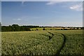
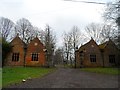
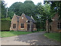
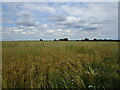
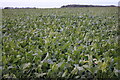
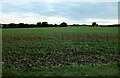
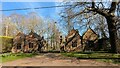
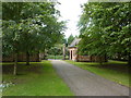
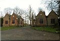
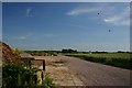
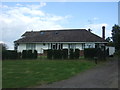
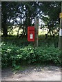
17 photos from this area
Area Information
Key information about the IP29 4SF including its size, population, and administrative classification.
- Area Type
- Postcode
- Area Size
- 49.6 hectares
- Population
- 2202
- Population Density
- 58 people/km²
House Prices in IP29 4SF
8
Properties
£300,250
Average Sold Price
£50,000
Lowest Price
£505,000
Highest Price
Showing 8 properties
| Address | Type | Beds | Baths | Last Sale Price | Last Sale Date | |
|---|---|---|---|---|---|---|
| 1, Newhall Cottages, Brands Lane, Lawshall, IP29 4SF | Semi-detached | 3 | 1 | £251,000 | Oct 2024 | |
| Longacre, Brands Lane, Lawshall, IP29 4SF | Bungalow | 3 | - | £395,000 | Apr 2014 | |
| Skylarks, Brands Lane, Lawshall, IP29 4SF | Bungalow | 5 | - | £505,000 | Aug 2007 | |
| 2, Newhall Cottages, Brands Lane, Lawshall, IP29 4SF | Semi-detached | - | - | £50,000 | Mar 1997 | |
| Mobile Home, Gold Star Kennels, Brands Lane, Bradfield Combust, IP29 4SF | Mobile Home | - | - | - | - | |
| Gold Star Kennels, Brands Lane, Bradfield Combust, IP29 4SF | Detached | - | - | - | - | |
| Four Aces, Brands Lane, Lawshall, IP29 4SF | Detached | - | - | - | - | |
| Applecourt House, Brands Lane, Bradfield Combust, IP29 4SF | Detached | - | - | - | - |
Energy Efficiency in IP29 4SF
Amenities
Schools
| Rank | School | Type | Entry gender | Ages |
|---|
Explore more schools in this area
Go to Schools tabDemographics
Household Size
Two person
most common
Accommodation Type
Houses
most common
Tenure
81
majority
Ethnic Group
White
most common
Religion
N/A
most common
Household Composition
N/A
most common
Age
47
median
Adults (30-64 years)
most common
Household Deprivation
N/A
with no deprivation
NS-SEC
40
in Lower managerial occupations
Explore more demographic insights in this area
Go to Demographics tabPlanning
Planning Constraints
- Flood RiskPremium
- Ramsar Wetland SitesPremium
- Area of Outstanding Natural BeautyPremium
- Protected Nature ReservePremium
- Protected WoodlandPremium