Area Overview for IP29 4PL
Photos of IP29 4PL
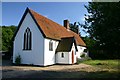
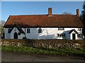
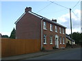
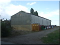
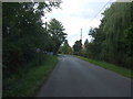
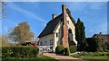
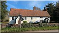
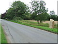
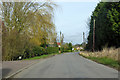
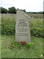
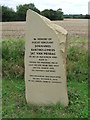
12 photos from this area
Area Information
Key information about the IP29 4PL including its size, population, and administrative classification.
- Area Type
- Postcode
- Area Size
- 55.1 hectares
- Population
- 2106
- Population Density
- 51 people/km²
House Prices in IP29 4PL
31
Properties
£418,855
Average Sold Price
£127,000
Lowest Price
£850,000
Highest Price
Showing 31 properties
| Address | Type | Beds | Baths | Last Sale Price | Last Sale Date | |
|---|---|---|---|---|---|---|
| Woodies, Bury Road, Lawshall, IP29 4PL | Detached | 5 | 3 | £850,000 | Mar 2025 | |
| Field Lodge, Bury Road, Lawshall, IP29 4PL | Detached | 3 | 2 | £815,000 | Mar 2025 | |
| Sideways, Bury Road, Lawshall, IP29 4PL | Bungalow | - | - | £450,000 | Jun 2024 | |
| Rose Cottage, Bury Road, Lawshall, IP29 4PL | house | - | - | £695,000 | May 2022 | |
| Thornfleet, Bury Road, Lawshall, IP29 4PL | Bungalow | 3 | 2 | £431,750 | Jan 2021 | |
| Leathean House, Bury Road, Lawshall, IP29 4PL | house | 3 | - | £305,000 | Mar 2020 | |
| Telesia, Bury Road, Lawshall, IP29 4PL | Bungalow | 3 | 2 | £370,000 | Apr 2019 | |
| Valtina, Bury Road, Lawshall, IP29 4PL | Detached | 3 | 2 | £340,000 | Nov 2017 | |
| Appletree House, Bury Road, Lawshall, IP29 4PL | house | - | - | £182,000 | Aug 2017 | |
| Orchard House, Bury Road, Lawshall, IP29 4PL | Detached | 5 | 3 | £525,000 | Jun 2015 |
Page 1 of 4
Energy Efficiency in IP29 4PL
Amenities
Schools
| Rank | School | Type | Entry gender | Ages |
|---|
Explore more schools in this area
Go to Schools tabDemographics
Household Size
Two person
most common
Accommodation Type
Houses
most common
Tenure
80
majority
Ethnic Group
White
most common
Religion
N/A
most common
Household Composition
N/A
most common
Age
47
median
Adults (30-64 years)
most common
Household Deprivation
N/A
with no deprivation
NS-SEC
39
in Lower managerial occupations
Explore more demographic insights in this area
Go to Demographics tabPlanning
Planning Constraints
- Flood RiskPremium
- Ramsar Wetland SitesPremium
- Area of Outstanding Natural BeautyPremium
- Protected Nature ReservePremium
- Protected WoodlandPremium