Area Overview for IP28 7PF
Photos of IP28 7PF
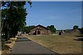

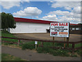
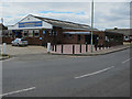
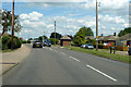
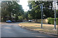
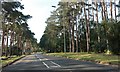
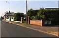
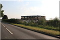
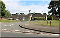
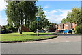
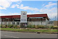
21 photos from this area
Area Information
Key information about the IP28 7PF including its size, population, and administrative classification.
- Area Type
- Postcode
- Area Size
- 2.0 hectares
- Population
- 1522
- Population Density
- 5858 people/km²
House Prices in IP28 7PF
53
Properties
£126,375
Average Sold Price
£40,000
Lowest Price
£210,000
Highest Price
Showing 53 properties
| Address | Type | Beds | Baths | Last Sale Price | Last Sale Date | |
|---|---|---|---|---|---|---|
| 56 Emmanuel Close, Mildenhall, IP28 7PF | Semi-detached | 4 | 1 | £210,000 | Sep 2023 | |
| 103 Emmanuel Close, Mildenhall, IP28 7PF | Terraced | 4 | 2 | £204,000 | Mar 2022 | |
| 131 Emmanuel Close, Mildenhall, IP28 7PF | house | - | - | £190,000 | Feb 2021 | |
| 62 Emmanuel Close, Mildenhall, IP28 7PF | Terraced | 3 | 1 | £169,000 | Oct 2020 | |
| 139 Emmanuel Close, Mildenhall, IP28 7PF | house | 2 | 1 | £185,000 | Dec 2019 | |
| 97 Emmanuel Close, Mildenhall, IP28 7PF | house | - | - | £190,000 | Dec 2019 | |
| 95 Emmanuel Close, Mildenhall, IP28 7PF | Terraced | 3 | - | £175,000 | Jul 2019 | |
| 60 Emmanuel Close, Mildenhall, IP28 7PF | house | 3 | - | £177,500 | May 2019 | |
| 127 Emmanuel Close, Mildenhall, IP28 7PF | house | 3 | - | £155,000 | Nov 2017 | |
| 48 Emmanuel Close, Mildenhall, IP28 7PF | house | - | - | £155,000 | Jun 2017 |
Page 1 of 6
Energy Efficiency in IP28 7PF
Amenities
Schools
| Rank | School | Type | Entry gender | Ages |
|---|
Explore more schools in this area
Go to Schools tabDemographics
Household Size
Family (3-5 people)
most common
Accommodation Type
Houses
most common
Tenure
41
majority
Ethnic Group
White
most common
Religion
N/A
most common
Household Composition
N/A
most common
Age
47
median
Adults (30-64 years)
most common
Household Deprivation
N/A
with no deprivation
NS-SEC
18
in Lower managerial occupations
Explore more demographic insights in this area
Go to Demographics tabPlanning
Planning Constraints
- Flood RiskPremium
- Ramsar Wetland SitesPremium
- Area of Outstanding Natural BeautyPremium
- Protected Nature ReservePremium
- Protected WoodlandPremium