Area Overview for IP27 9EP
Photos of IP27 9EP
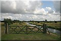
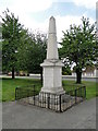
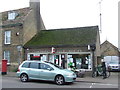
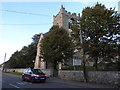
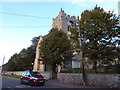
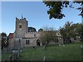
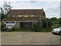
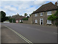
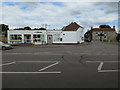
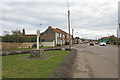
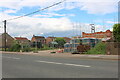
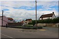
64 photos from this area
Area Information
Key information about the IP27 9EP including its size, population, and administrative classification.
- Area Type
- Postcode
- Area Size
- 1.4 hectares
- Population
- 1576
- Population Density
- 705 people/km²
House Prices in IP27 9EP
25
Properties
£175,667
Average Sold Price
£115,000
Lowest Price
£260,000
Highest Price
Showing 25 properties
| Address | Type | Beds | Baths | Last Sale Price | Last Sale Date | |
|---|---|---|---|---|---|---|
| Applepatch, 152A High Street, Lakenheath, IP27 9EP | Bungalow | 3 | 1 | £215,000 | Jun 2025 | |
| 178 High Street, Lakenheath, IP27 9EP | house | 3 | 1 | £216,000 | Mar 2024 | |
| 170 High Street, Lakenheath, IP27 9EP | house | 3 | 1 | £187,000 | Jun 2023 | |
| 152 High Street, Lakenheath, IP27 9EP | Bungalow | 2 | 1 | £220,000 | Apr 2021 | |
| 176 High Street, Lakenheath, IP27 9EP | Semi-detached | 3 | - | £115,000 | Jan 2020 | |
| 131 High Street, Lakenheath, IP27 9EP | Terraced | 2 | 1 | £120,000 | Apr 2018 | |
| 127 High Street, Lakenheath, IP27 9EP | Detached | 3 | 2 | £260,000 | Oct 2015 | |
| 164 High Street, Lakenheath, IP27 9EP | Semi-detached | 3 | 1 | £115,000 | Apr 2010 | |
| 155 High Street, Lakenheath, IP27 9EP | Detached | - | - | £133,000 | Apr 2006 | |
| 129 High Street, Lakenheath, IP27 9EP | Terraced | 2 | 1 | - | - |
Page 1 of 3
Energy Efficiency in IP27 9EP
Amenities
Schools
| Rank | School | Type | Entry gender | Ages |
|---|
Explore more schools in this area
Go to Schools tabDemographics
Household Size
Two person
most common
Accommodation Type
Houses
most common
Tenure
70
majority
Ethnic Group
White
most common
Religion
N/A
most common
Household Composition
N/A
most common
Age
47
median
Adults (30-64 years)
most common
Household Deprivation
N/A
with no deprivation
NS-SEC
28
in Lower managerial occupations
Explore more demographic insights in this area
Go to Demographics tabPlanning
Planning Constraints
- Flood RiskPremium
- Ramsar Wetland SitesPremium
- Area of Outstanding Natural BeautyPremium
- Protected Nature ReservePremium
- Protected WoodlandPremium