Area Overview for IP27 9EF
Photos of IP27 9EF
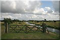
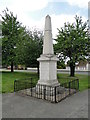
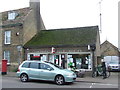
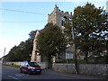
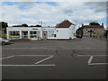
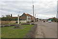
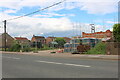
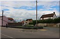
64 photos from this area
Area Information
Key information about the IP27 9EF including its size, population, and administrative classification.
- Area Type
- Postcode
- Area Size
- 1.4 hectares
- Population
- 1576
- Population Density
- 705 people/km²
House Prices in IP27 9EF
23
Properties
£183,664
Average Sold Price
£63,000
Lowest Price
£335,000
Highest Price
Showing 23 properties
| Address | Type | Beds | Baths | Last Sale Price | Last Sale Date | |
|---|---|---|---|---|---|---|
| 56 Sandgalls Road, Lakenheath, IP27 9EF | Bungalow | 4 | 1 | £255,000 | Aug 2025 | |
| 82 Sandgalls Road, Lakenheath, IP27 9EF | Bungalow | 2 | 1 | £242,500 | Apr 2025 | |
| 78 Sandgalls Road, Lakenheath, IP27 9EF | Bungalow | 2 | 1 | £200,000 | Dec 2024 | |
| 58 Sandgalls Road, Lakenheath, IP27 9EF | Retail | 3 | 1 | £310,000 | Jun 2022 | |
| 60 Sandgalls Road, Lakenheath, IP27 9EF | Bungalow | 2 | 1 | £235,000 | Mar 2022 | |
| 39 Sandgalls Road, Lakenheath, IP27 9EF | Bungalow | 5 | 2 | £335,000 | Nov 2021 | |
| 70 Sandgalls Road, Lakenheath, IP27 9EF | Bungalow | 2 | 1 | £210,000 | Oct 2020 | |
| 66 Sandgalls Road, Lakenheath, IP27 9EF | Bungalow | 2 | 1 | £191,000 | May 2020 | |
| 68 Sandgalls Road, Lakenheath, IP27 9EF | Bungalow | 3 | 1 | £220,000 | Oct 2017 | |
| 80 Sandgalls Road, Lakenheath, IP27 9EF | Bungalow | 3 | - | £160,000 | May 2016 |
Page 1 of 3
Energy Efficiency in IP27 9EF
Amenities
Schools
| Rank | School | Type | Entry gender | Ages |
|---|
Explore more schools in this area
Go to Schools tabDemographics
Household Size
Two person
most common
Accommodation Type
Houses
most common
Tenure
70
majority
Ethnic Group
White
most common
Religion
N/A
most common
Household Composition
N/A
most common
Age
47
median
Adults (30-64 years)
most common
Household Deprivation
N/A
with no deprivation
NS-SEC
28
in Lower managerial occupations
Explore more demographic insights in this area
Go to Demographics tabPlanning
Planning Constraints
- Flood RiskPremium
- Ramsar Wetland SitesPremium
- Area of Outstanding Natural BeautyPremium
- Protected Nature ReservePremium
- Protected WoodlandPremium