Area Overview for IP24 2HY
Photos of IP24 2HY
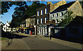
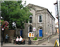
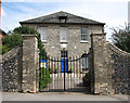
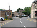
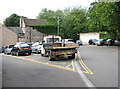
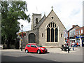
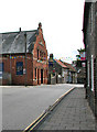
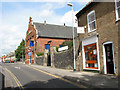
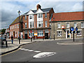
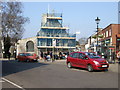
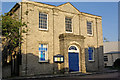
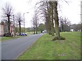
100 photos from this area
Area Information
Key information about the IP24 2HY including its size, population, and administrative classification.
- Area Type
- Postcode
- Area Size
- 8984 m²
- Population
- 2431
- Population Density
- 2760 people/km²
House Prices in IP24 2HY
31
Properties
£124,523
Average Sold Price
£37,950
Lowest Price
£255,000
Highest Price
Showing 31 properties
| Address | Type | Beds | Baths | Last Sale Price | Last Sale Date | |
|---|---|---|---|---|---|---|
| 5 Grove Lane, Thetford, IP24 2HY | Terraced | 2 | 1 | £160,000 | Mar 2023 | |
| 27 Grove Lane, Thetford, IP24 2HY | Semi-detached | 2 | 1 | £255,000 | Mar 2023 | |
| The Copper Cottage, 2 Grove Lane, Thetford, IP24 2HY | house | - | - | £155,000 | Mar 2023 | |
| 3 Grove Lane, Thetford, IP24 2HY | Detached | 1 | 1 | £130,000 | Apr 2021 | |
| 8 Grove Lane, Thetford, IP24 2HY | house | 2 | 1 | £135,000 | Jul 2020 | |
| 10 Grove Lane, Thetford, IP24 2HY | Cottage | 2 | 1 | £125,000 | Jun 2020 | |
| 13 Grove Lane, Thetford, IP24 2HY | Terraced | 3 | 1 | £174,100 | Mar 2020 | |
| 12 Grove Lane, Thetford, IP24 2HY | Cottage | 2 | 1 | £125,000 | May 2019 | |
| 16 Grove Lane, Thetford, IP24 2HY | Cottage | 2 | 1 | £124,000 | Apr 2019 | |
| 11 Grove Lane, Thetford, IP24 2HY | Terraced | 2 | 1 | £150,000 | Jan 2019 |
Page 1 of 4
Energy Efficiency in IP24 2HY
Amenities
Schools
| Rank | School | Type | Entry gender | Ages |
|---|
Explore more schools in this area
Go to Schools tabDemographics
Household Size
Two person
most common
Accommodation Type
Houses
most common
Tenure
49
majority
Ethnic Group
White
most common
Religion
N/A
most common
Household Composition
N/A
most common
Age
47
median
Adults (30-64 years)
most common
Household Deprivation
N/A
with no deprivation
NS-SEC
22
in Lower managerial occupations
Explore more demographic insights in this area
Go to Demographics tabPlanning
Planning Constraints
- Flood RiskPremium
- Ramsar Wetland SitesPremium
- Area of Outstanding Natural BeautyPremium
- Protected Nature ReservePremium
- Protected WoodlandPremium