Area Overview for IP24 2HT
Photos of IP24 2HT
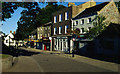
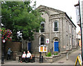
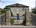
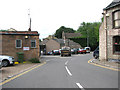
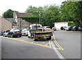
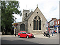
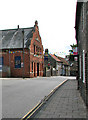
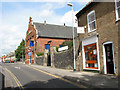
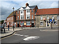
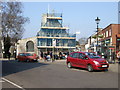
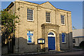
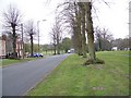
100 photos from this area
Area Information
Key information about the IP24 2HT including its size, population, and administrative classification.
- Area Type
- Postcode
- Area Size
- 2.9 hectares
- Population
- 1650
- Population Density
- 4588 people/km²
House Prices in IP24 2HT
37
Properties
£154,892
Average Sold Price
£34,000
Lowest Price
£340,000
Highest Price
Showing 37 properties
| Address | Type | Beds | Baths | Last Sale Price | Last Sale Date | |
|---|---|---|---|---|---|---|
| 14 Norwich Road, Thetford, IP24 2HT | Detached | 3 | 2 | £340,000 | Sep 2021 | |
| 3B Norwich Road, Thetford, IP24 2HT | Detached | 3 | 2 | £247,500 | Apr 2018 | |
| 3A Norwich Road, Thetford, IP24 2HT | Detached | 3 | 2 | £235,000 | May 2017 | |
| 2A Norwich Road, Thetford, IP24 2HT | Bungalow | 3 | - | £262,000 | Mar 2015 | |
| 18 Norwich Road, Thetford, IP24 2HT | house | 2 | - | £98,000 | Oct 2013 | |
| 8 Norwich Road, Thetford, IP24 2HT | Terraced | 3 | 1 | £123,000 | Oct 2011 | |
| 4 Norwich Road, Thetford, IP24 2HT | house | - | - | £150,000 | Oct 2007 | |
| 16 Norwich Road, Thetford, IP24 2HT | Detached | - | - | £124,995 | Jul 2007 | |
| 15 Norwich Road, Thetford, IP24 2HT | Flat | 2 | 1 | £249,995 | Jun 2007 | |
| 21 Norwich Road, Thetford, IP24 2HT | Detached | - | - | £93,000 | Jun 2006 |
Page 1 of 4
Energy Efficiency in IP24 2HT
Amenities
Schools
| Rank | School | Type | Entry gender | Ages |
|---|
Explore more schools in this area
Go to Schools tabDemographics
Household Size
Two person
most common
Accommodation Type
Houses
most common
Tenure
61
majority
Ethnic Group
White
most common
Religion
N/A
most common
Household Composition
N/A
most common
Age
47
median
Adults (30-64 years)
most common
Household Deprivation
N/A
with no deprivation
NS-SEC
24
in Lower managerial occupations
Explore more demographic insights in this area
Go to Demographics tabPlanning
Planning Constraints
- Flood RiskPremium
- Ramsar Wetland SitesPremium
- Area of Outstanding Natural BeautyPremium
- Protected Nature ReservePremium
- Protected WoodlandPremium