Area Overview for IP22 5UD
Photos of IP22 5UD
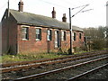
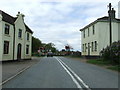
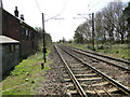
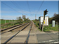
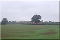
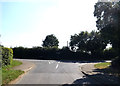
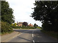
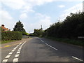
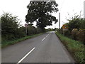
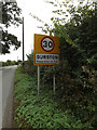
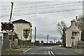
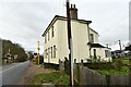
30 photos from this area
Area Information
Key information about the IP22 5UD including its size, population, and administrative classification.
- Area Type
- Postcode
- Area Size
- 45.6 hectares
- Population
- 1543
- Population Density
- 41 people/km²
House Prices in IP22 5UD
24
Properties
£215,450
Average Sold Price
£50,000
Lowest Price
£535,000
Highest Price
Showing 24 properties
| Address | Type | Beds | Baths | Last Sale Price | Last Sale Date | |
|---|---|---|---|---|---|---|
| Candlestick Barn, Gissing Road, Burston, IP22 5UD | house | - | - | £397,500 | Aug 2025 | |
| East Neuk, Gissing Road, Burston, IP22 5UD | Bungalow | 3 | 1 | £535,000 | Dec 2020 | |
| 10 Gissing Road, Burston, IP22 5UD | Semi-detached | 3 | 1 | £238,500 | May 2018 | |
| 7 Gissing Road, Burston, IP22 5UD | house | - | - | £223,000 | Jul 2016 | |
| The Black Barn, Gissing Road, Burston, IP22 5UD | Semi-detached | - | - | £175,000 | Aug 2008 | |
| 6 Gissing Road, Burston, IP22 5UD | Semi-detached | - | - | £170,000 | Nov 2007 | |
| 8 Gissing Road, Burston, IP22 5UD | Semi-detached | - | - | £123,000 | Dec 2002 | |
| 12 Gissing Road, Burston, IP22 5UD | Semi-detached | 4 | 1 | £105,500 | Dec 2001 | |
| 2 Gissing Road, Burston, IP22 5UD | house | - | - | £50,000 | Dec 1997 | |
| Silver Birches, Gissing Road, Burston, IP22 5UD | Detached | - | - | £137,000 | May 1995 |
Page 1 of 3
Energy Efficiency in IP22 5UD
Amenities
Schools
| Rank | School | Type | Entry gender | Ages |
|---|
Explore more schools in this area
Go to Schools tabDemographics
Household Size
Two person
most common
Accommodation Type
Houses
most common
Tenure
72
majority
Ethnic Group
White
most common
Religion
N/A
most common
Household Composition
N/A
most common
Age
47
median
Adults (30-64 years)
most common
Household Deprivation
N/A
with no deprivation
NS-SEC
32
in Lower managerial occupations
Explore more demographic insights in this area
Go to Demographics tabPlanning
Planning Constraints
- Flood RiskPremium
- Ramsar Wetland SitesPremium
- Area of Outstanding Natural BeautyPremium
- Protected Nature ReservePremium
- Protected WoodlandPremium