Area Overview for IP22 5TJ
Photos of IP22 5TJ
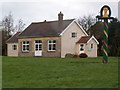
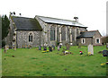
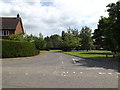
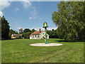
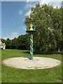
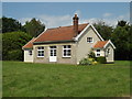
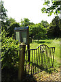
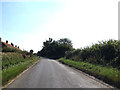
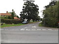
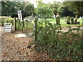
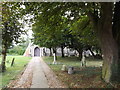
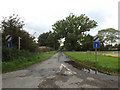
61 photos from this area
Area Information
Key information about the IP22 5TJ including its size, population, and administrative classification.
- Area Type
- Postcode
- Area Size
- 31.0 hectares
- Population
- 1543
- Population Density
- 41 people/km²
House Prices in IP22 5TJ
18
Properties
£274,429
Average Sold Price
£132,000
Lowest Price
£542,000
Highest Price
Showing 18 properties
| Address | Type | Beds | Baths | Last Sale Price | Last Sale Date | |
|---|---|---|---|---|---|---|
| Lanson House, Mill Green, Burston, IP22 5TJ | Detached | 4 | 1 | £530,000 | Nov 2021 | |
| Rugby Cottage, Mill Green, Burston, IP22 5TJ | Detached | 5 | 3 | £542,000 | Jul 2017 | |
| 11 Mill Road, Burston, IP22 5TJ | house | - | - | £165,000 | May 2016 | |
| 9 Mill Road, Burston, IP22 5TJ | Terraced | 2 | - | £145,000 | Feb 2014 | |
| 13 Mill Road, Burston, IP22 5TJ | house | - | - | £137,000 | Jun 2007 | |
| 15 Mill Road, Burston, IP22 5TJ | Terraced | - | - | £132,000 | Apr 2006 | |
| Melfort Lodge, Mill Green, Burston, IP22 5TJ | Detached | - | - | £270,000 | Jan 2004 | |
| Home Farm Barn, Mill Road, Burston, IP22 5TJ | Semi-detached | 4 | 1 | - | - | |
| Ivy House, Mill Green, Burston, IP22 5TJ | house | 2 | - | - | - | |
| The Old Pool House, Mill Green, Burston, IP22 5TJ | Land | 5 | - | - | - |
Page 1 of 2
Energy Efficiency in IP22 5TJ
Amenities
Schools
| Rank | School | Type | Entry gender | Ages |
|---|
Explore more schools in this area
Go to Schools tabDemographics
Household Size
Two person
most common
Accommodation Type
Houses
most common
Tenure
72
majority
Ethnic Group
White
most common
Religion
N/A
most common
Household Composition
N/A
most common
Age
47
median
Adults (30-64 years)
most common
Household Deprivation
N/A
with no deprivation
NS-SEC
32
in Lower managerial occupations
Explore more demographic insights in this area
Go to Demographics tabPlanning
Planning Constraints
- Flood RiskPremium
- Ramsar Wetland SitesPremium
- Area of Outstanding Natural BeautyPremium
- Protected Nature ReservePremium
- Protected WoodlandPremium