Area Overview for IP22 2JA
Photos of IP22 2JA
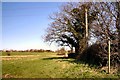
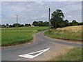
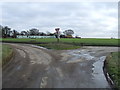
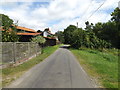
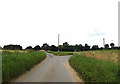
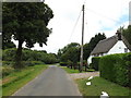
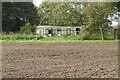
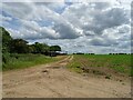
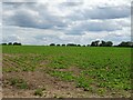
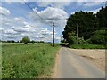
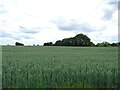
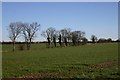
14 photos from this area
Area Information
Key information about the IP22 2JA including its size, population, and administrative classification.
- Area Type
- Postcode
- Area Size
- 1.0 km²
- Population
- 2394
- Population Density
- 67 people/km²
House Prices in IP22 2JA
9
Properties
£379,667
Average Sold Price
£127,500
Lowest Price
£725,000
Highest Price
Showing 9 properties
| Address | Type | Beds | Baths | Last Sale Price | Last Sale Date | |
|---|---|---|---|---|---|---|
| Cosy Nook, Middle Road, Blo Norton, IP22 2JA | Detached | 3 | 2 | £467,500 | May 2020 | |
| Manor Farm, Middle Road, Blo Norton, IP22 2JA | house | - | - | £725,000 | Oct 2019 | |
| Hill Acre, Middle Road, Blo Norton, IP22 2JA | Detached | 3 | 1 | £360,000 | Nov 2018 | |
| Chandos Lodge', Middle Road, Blo Norton, IP22 2JA | Bungalow | 3 | 1 | £235,000 | Nov 2017 | |
| Just Another House, Middle Road, Blo Norton, IP22 2JA | house | 4 | 2 | £363,000 | Oct 2005 | |
| Rosary, Middle Road, Blo Norton, IP22 2JA | Detached | - | - | £127,500 | Jul 1998 | |
| Development Site At Manor Farm, Middle Road, Blo Norton, IP22 2JA | Land | 2 | 1 | - | - | |
| Oakfields, Middle Road, Blo Norton, IP22 2JA | Detached | - | - | - | - | |
| Ash Tree Farm, Middle Road, Blo Norton, IP22 2JA | Detached | - | - | - | - |
Energy Efficiency in IP22 2JA
Amenities
Schools
| Rank | School | Type | Entry gender | Ages |
|---|
Explore more schools in this area
Go to Schools tabDemographics
Household Size
Two person
most common
Accommodation Type
Houses
most common
Tenure
76
majority
Ethnic Group
White
most common
Religion
N/A
most common
Household Composition
N/A
most common
Age
47
median
Adults (30-64 years)
most common
Household Deprivation
N/A
with no deprivation
NS-SEC
37
in Lower managerial occupations
Explore more demographic insights in this area
Go to Demographics tabPlanning
Planning Constraints
- Flood RiskPremium
- Ramsar Wetland SitesPremium
- Area of Outstanding Natural BeautyPremium
- Protected Nature ReservePremium
- Protected WoodlandPremium