Area Overview for IP22 1SE
Photos of IP22 1SE
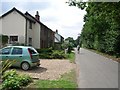
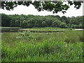
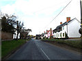
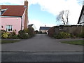
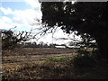
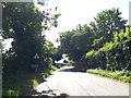
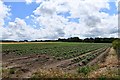
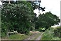
37 photos from this area
Area Information
Key information about the IP22 1SE including its size, population, and administrative classification.
- Area Type
- Postcode
- Area Size
- 39.8 hectares
- Population
- 1315
- Population Density
- 80 people/km²
House Prices in IP22 1SE
8
Properties
£257,035
Average Sold Price
£80,000
Lowest Price
£423,138
Highest Price
Showing 8 properties
| Address | Type | Beds | Baths | Last Sale Price | Last Sale Date | |
|---|---|---|---|---|---|---|
| Fen View, Fen Street, Redgrave, IP22 1SE | Land | - | - | £235,000 | Aug 2005 | |
| Rose Dene, Fen Street, Redgrave, IP22 1SE | Bungalow | 4 | 1 | £290,000 | Feb 2004 | |
| Elmcroft, Fen Street, Redgrave, IP22 1SE | Detached | - | - | £423,138 | Oct 2001 | |
| Flint Cottage, Fen Street, Redgrave, IP22 1SE | Semi-detached | - | - | £80,000 | Feb 2001 | |
| Chimneys, Fen Street, Redgrave, IP22 1SE | house | - | - | - | - | |
| Fenhurst, Fen Street, Redgrave, IP22 1SE | Detached | - | - | - | - | |
| Sandhurst, Fen Street, Redgrave, IP22 1SE | Detached | - | - | - | - | |
| Fen Field House, Fen Street, Redgrave, IP22 1SE | house | - | - | - | - |
Energy Efficiency in IP22 1SE
Amenities
Schools
| Rank | School | Type | Entry gender | Ages |
|---|
Explore more schools in this area
Go to Schools tabDemographics
Household Size
Two person
most common
Accommodation Type
Houses
most common
Tenure
77
majority
Ethnic Group
White
most common
Religion
N/A
most common
Household Composition
N/A
most common
Age
47
median
Adults (30-64 years)
most common
Household Deprivation
N/A
with no deprivation
NS-SEC
37
in Lower managerial occupations
Explore more demographic insights in this area
Go to Demographics tabPlanning
Planning Constraints
- Flood RiskPremium
- Ramsar Wetland SitesPremium
- Area of Outstanding Natural BeautyPremium
- Protected Nature ReservePremium
- Protected WoodlandPremium