Area Overview for IP21 4RT
Photos of IP21 4RT
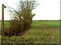
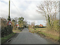
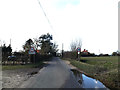

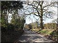
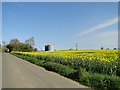
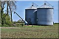
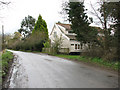
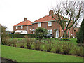
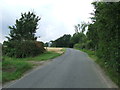
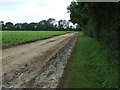
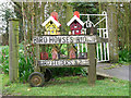
13 photos from this area
Area Information
Key information about the IP21 4RT including its size, population, and administrative classification.
- Area Type
- Postcode
- Area Size
- 2.1 km²
- Population
- 1600
- Population Density
- 112 people/km²
House Prices in IP21 4RT
31
Properties
£384,467
Average Sold Price
£155,000
Lowest Price
£900,000
Highest Price
Showing 31 properties
| Address | Type | Beds | Baths | Last Sale Price | Last Sale Date | |
|---|---|---|---|---|---|---|
| 3, Council Houses, Harleston Road, Rushall, IP21 4RT | Detached | 3 | 1 | £155,000 | May 2025 | |
| The Croft, Harleston Road, Rushall, IP21 4RT | Cottage | 2 | 1 | £300,000 | Nov 2024 | |
| Rushall Lodge, Harleston Road, Rushall, IP21 4RT | Detached | 5 | 4 | £900,000 | Sep 2022 | |
| 1 Furze Green, Pulham St Mary, IP21 4RT | Cottage | 3 | 2 | £350,000 | Sep 2021 | |
| Johnson Farm, Harleston Road, Rushall, IP21 4RT | Detached | 4 | - | £830,000 | Jun 2021 | |
| Ivory House, Rushall Road, Needham, IP21 4RT | house | - | - | £542,000 | Jun 2021 | |
| Bygones, Harleston Road, Rushall, IP21 4RT | Detached | 4 | 2 | £480,000 | Jan 2021 | |
| 4, Council Houses, Harleston Road, Rushall, IP21 4RT | house | - | - | £158,000 | Oct 2020 | |
| Brook Farm, Harleston Road, Rushall, IP21 4RT | house | 3 | 2 | £435,000 | Dec 2019 | |
| Briar Farm, Harleston Road, Rushall, IP21 4RT | Detached | - | - | £237,540 | Nov 2018 |
Page 1 of 4
Energy Efficiency in IP21 4RT
Amenities
Schools
| Rank | School | Type | Entry gender | Ages |
|---|
Explore more schools in this area
Go to Schools tabDemographics
Household Size
Two person
most common
Accommodation Type
Houses
most common
Tenure
71
majority
Ethnic Group
White
most common
Religion
N/A
most common
Household Composition
N/A
most common
Age
47
median
Adults (30-64 years)
most common
Household Deprivation
N/A
with no deprivation
NS-SEC
33
in Lower managerial occupations
Explore more demographic insights in this area
Go to Demographics tabPlanning
Planning Constraints
- Flood RiskPremium
- Ramsar Wetland SitesPremium
- Area of Outstanding Natural BeautyPremium
- Protected Nature ReservePremium
- Protected WoodlandPremium