Area Overview for IP2 0DA
Photos of IP2 0DA
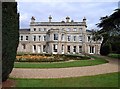
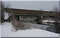
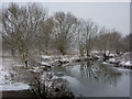
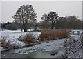
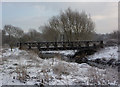
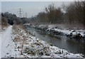
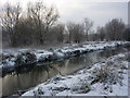
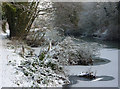
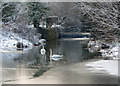
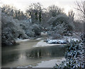
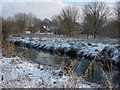
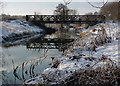
84 photos from this area
Area Information
Key information about the IP2 0DA including its size, population, and administrative classification.
- Area Type
- Postcode
- Area Size
- 5.6 hectares
- Population
- 1207
- Population Density
- 397 people/km²
House Prices in IP2 0DA
18
Properties
£313,583
Average Sold Price
£177,500
Lowest Price
£393,000
Highest Price
Showing 18 properties
| Address | Type | Beds | Baths | Last Sale Price | Last Sale Date | |
|---|---|---|---|---|---|---|
| 10 Larchwood Close, Sproughton, IP2 0DA | Bungalow | 3 | 1 | £300,000 | Mar 2023 | |
| 16 Larchwood Close, Sproughton, IP2 0DA | Detached | 3 | 1 | £393,000 | Dec 2022 | |
| 17 Larchwood Close, Sproughton, IP2 0DA | Bungalow | - | - | £320,000 | Dec 2020 | |
| 18 Larchwood Close, Sproughton, IP2 0DA | Bungalow | - | - | £285,000 | Nov 2020 | |
| 19 Larchwood Close, Sproughton, IP2 0DA | Detached | 3 | 2 | £333,000 | Nov 2020 | |
| 15 Larchwood Close, Sproughton, IP2 0DA | Detached | 3 | - | £322,500 | Sep 2020 | |
| 12 Larchwood Close, Sproughton, IP2 0DA | Bungalow | - | - | £335,000 | Aug 2020 | |
| 14 Larchwood Close, Sproughton, IP2 0DA | house | - | - | £387,000 | Aug 2020 | |
| 3 Larchwood Close, Sproughton, IP2 0DA | Bungalow | 2 | 1 | £360,000 | Jun 2019 | |
| 11 Larchwood Close, Sproughton, IP2 0DA | Bungalow | - | - | £300,000 | Mar 2019 |
Page 1 of 2
Energy Efficiency in IP2 0DA
Amenities
Schools
| Rank | School | Type | Entry gender | Ages |
|---|
Explore more schools in this area
Go to Schools tabDemographics
Household Size
Two person
most common
Accommodation Type
Houses
most common
Tenure
82
majority
Ethnic Group
White
most common
Religion
N/A
most common
Household Composition
N/A
most common
Age
47
median
Adults (30-64 years)
most common
Household Deprivation
N/A
with no deprivation
NS-SEC
37
in Lower managerial occupations
Explore more demographic insights in this area
Go to Demographics tabPlanning
Planning Constraints
- Flood RiskPremium
- Ramsar Wetland SitesPremium
- Area of Outstanding Natural BeautyPremium
- Protected Nature ReservePremium
- Protected WoodlandPremium