Area Overview for IP19 8TJ
Photos of IP19 8TJ
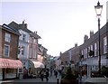

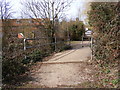
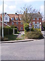
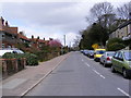
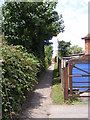
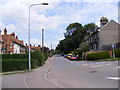
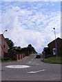
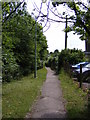

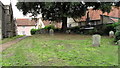
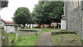
100 photos from this area
Area Information
Key information about the IP19 8TJ including its size, population, and administrative classification.
- Area Type
- Postcode
- Area Size
- 1.2 hectares
- Population
- 1605
- Population Density
- 1145 people/km²
House Prices in IP19 8TJ
21
Properties
£234,842
Average Sold Price
£72,500
Lowest Price
£390,000
Highest Price
Showing 21 properties
| Address | Type | Beds | Baths | Last Sale Price | Last Sale Date | |
|---|---|---|---|---|---|---|
| 75 Dukes Drive, Halesworth, IP19 8TJ | Detached | 4 | 2 | £390,000 | Jun 2025 | |
| 79 Dukes Drive, Halesworth, IP19 8TJ | Detached | 4 | 2 | £350,000 | Sep 2024 | |
| 93 Dukes Drive, Halesworth, IP19 8TJ | Bungalow | 2 | 1 | £250,000 | Sep 2023 | |
| 77 Dukes Drive, Halesworth, IP19 8TJ | house | - | - | £375,000 | Jan 2022 | |
| 89 Dukes Drive, Halesworth, IP19 8TJ | Bungalow | 2 | 1 | £325,000 | Nov 2021 | |
| 107 Dukes Drive, Halesworth, IP19 8TJ | Bungalow | 2 | 1 | £291,000 | May 2021 | |
| 105 Dukes Drive, Halesworth, IP19 8TJ | Bungalow | - | - | £227,500 | Jun 2020 | |
| 71 Dukes Drive, Halesworth, IP19 8TJ | Detached | 3 | 1 | £280,000 | Dec 2018 | |
| 101 Dukes Drive, Halesworth, IP19 8TJ | Bungalow | 2 | - | £178,000 | Oct 2017 | |
| 85 Dukes Drive, Halesworth, IP19 8TJ | Bungalow | 2 | 1 | £255,000 | Jun 2016 |
Page 1 of 3
Energy Efficiency in IP19 8TJ
Amenities
Schools
| Rank | School | Type | Entry gender | Ages |
|---|
Explore more schools in this area
Go to Schools tabDemographics
Household Size
Two person
most common
Accommodation Type
Houses
most common
Tenure
77
majority
Ethnic Group
White
most common
Religion
N/A
most common
Household Composition
N/A
most common
Age
47
median
Adults (30-64 years)
most common
Household Deprivation
N/A
with no deprivation
NS-SEC
27
in Lower managerial occupations
Explore more demographic insights in this area
Go to Demographics tabPlanning
Planning Constraints
- Flood RiskPremium
- Ramsar Wetland SitesPremium
- Area of Outstanding Natural BeautyPremium
- Protected Nature ReservePremium
- Protected WoodlandPremium