Area Overview for IP19 8TG
Photos of IP19 8TG
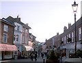
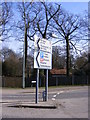
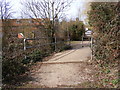
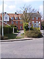
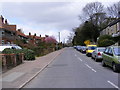
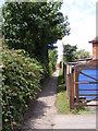
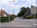
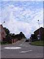
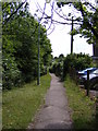
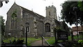
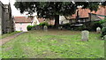
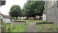
100 photos from this area
Area Information
Key information about the IP19 8TG including its size, population, and administrative classification.
- Area Type
- Postcode
- Area Size
- 1.4 hectares
- Population
- 1804
- Population Density
- 1017 people/km²
House Prices in IP19 8TG
13
Properties
£221,625
Average Sold Price
£75,000
Lowest Price
£360,000
Highest Price
Showing 13 properties
| Address | Type | Beds | Baths | Last Sale Price | Last Sale Date | |
|---|---|---|---|---|---|---|
| 8 Allington Road, Halesworth, IP19 8TG | Bungalow | 3 | 1 | £320,000 | Aug 2024 | |
| 3 Allington Road, Halesworth, IP19 8TG | Bungalow | 3 | 2 | £360,000 | Jul 2024 | |
| 4 Allington Road, Halesworth, IP19 8TG | Bungalow | 3 | 1 | £355,000 | Mar 2024 | |
| 14 Allington Road, Halesworth, IP19 8TG | Bungalow | 2 | 1 | £225,000 | Sep 2021 | |
| 10 Allington Road, Halesworth, IP19 8TG | Bungalow | 3 | 1 | £235,000 | Mar 2019 | |
| 6 Allington Road, Halesworth, IP19 8TG | Bungalow | 2 | 1 | £265,000 | Apr 2017 | |
| 12 Allington Road, Halesworth, IP19 8TG | Bungalow | 2 | - | £240,000 | Dec 2016 | |
| 11 Allington Road, Halesworth, IP19 8TG | Bungalow | 2 | - | £152,500 | Dec 2013 | |
| 2 Allington Road, Halesworth, IP19 8TG | Bungalow | 2 | - | £159,000 | Sep 2013 | |
| 1 Allington Road, Halesworth, IP19 8TG | Bungalow | 2 | - | £135,000 | May 2012 |
Page 1 of 2
Energy Efficiency in IP19 8TG
Amenities
Schools
| Rank | School | Type | Entry gender | Ages |
|---|
Explore more schools in this area
Go to Schools tabDemographics
Household Size
One person
most common
Accommodation Type
Houses
most common
Tenure
57
majority
Ethnic Group
White
most common
Religion
N/A
most common
Household Composition
N/A
most common
Age
47
median
Elderly (65+ years)
most common
Household Deprivation
N/A
with no deprivation
NS-SEC
28
in Lower managerial occupations
Explore more demographic insights in this area
Go to Demographics tabPlanning
Planning Constraints
- Flood RiskPremium
- Ramsar Wetland SitesPremium
- Area of Outstanding Natural BeautyPremium
- Protected Nature ReservePremium
- Protected WoodlandPremium