Area Overview for IP18 6BS
Photos of IP18 6BS
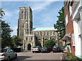
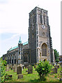
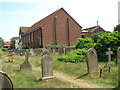
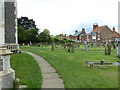
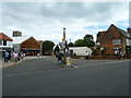
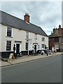
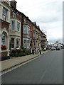
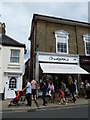
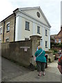
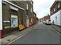

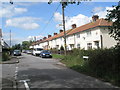
100 photos from this area
Area Information
Key information about the IP18 6BS including its size, population, and administrative classification.
- Area Type
- Postcode
- Area Size
- 1.7 hectares
- Population
- 2178
- Population Density
- 585 people/km²
House Prices in IP18 6BS
35
Properties
£466,088
Average Sold Price
£119,500
Lowest Price
£940,000
Highest Price
Showing 35 properties
| Address | Type | Beds | Baths | Last Sale Price | Last Sale Date | |
|---|---|---|---|---|---|---|
| 30 Hotson Road, Southwold, IP18 6BS | house | - | - | £750,000 | Oct 2023 | |
| 7 Hotson Road, Southwold, IP18 6BS | house | 3 | 1 | £685,000 | Oct 2023 | |
| 13 Hotson Road, Southwold, IP18 6BS | Bungalow | - | - | £940,000 | Sep 2022 | |
| Greenhill Cottage, 44 Hotson Road, Southwold, IP18 6BS | Bungalow | 2 | - | £740,000 | Jul 2022 | |
| 38 Hotson Road, Southwold, IP18 6BS | house | - | - | £810,000 | Jun 2021 | |
| 5 Hotson Road, Southwold, IP18 6BS | Detached | 2 | 1 | £495,000 | Dec 2020 | |
| 9 Hotson Road, Southwold, IP18 6BS | Detached | 3 | - | £408,000 | Dec 2013 | |
| 11 Hotson Road, Southwold, IP18 6BS | Detached | 3 | - | £411,000 | Nov 2013 | |
| Ranmore, Hotson Road, Southwold, IP18 6BS | house | - | - | £475,000 | Jan 2013 | |
| 32 Hotson Road, Southwold, IP18 6BS | house | 3 | - | £450,000 | Nov 2010 |
Page 1 of 4
Energy Efficiency in IP18 6BS
Amenities
Schools
| Rank | School | Type | Entry gender | Ages |
|---|
Explore more schools in this area
Go to Schools tabDemographics
Household Size
Two person
most common
Accommodation Type
Houses
most common
Tenure
77
majority
Ethnic Group
White
most common
Religion
N/A
most common
Household Composition
N/A
most common
Age
47
median
Elderly (65+ years)
most common
Household Deprivation
N/A
with no deprivation
NS-SEC
40
in Lower managerial occupations
Explore more demographic insights in this area
Go to Demographics tabPlanning
Planning Constraints
- Flood RiskPremium
- Ramsar Wetland SitesPremium
- Area of Outstanding Natural BeautyPremium
- Protected Nature ReservePremium
- Protected WoodlandPremium