Area Overview for IP16 4QH
Photos of IP16 4QH
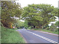
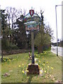
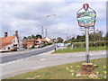
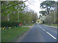
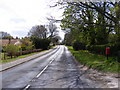
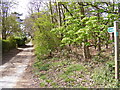
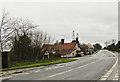
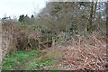
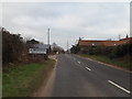
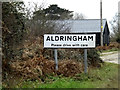
37 photos from this area
Area Information
Key information about the IP16 4QH including its size, population, and administrative classification.
- Area Type
- Postcode
- Area Size
- 15.3 hectares
- Population
- 2043
- Population Density
- 136 people/km²
House Prices in IP16 4QH
25
Properties
£342,417
Average Sold Price
£50,000
Lowest Price
£650,000
Highest Price
Showing 25 properties
| Address | Type | Beds | Baths | Last Sale Price | Last Sale Date | |
|---|---|---|---|---|---|---|
| Whins, Aldeburgh Road, Aldringham Cum Thorpe, IP16 4QH | Bungalow | 2 | 1 | £335,000 | Dec 2023 | |
| Oaklands, Aldeburgh Road, Aldringham Cum Thorpe, IP16 4QH | Retail | 3 | 1 | £390,000 | Apr 2022 | |
| Hazelwood Pines, Aldeburgh Road, Aldringham Cum Thorpe, IP16 4QH | Bungalow | 3 | - | £420,000 | Mar 2021 | |
| Bankside, Aldeburgh Road, Aldringham Cum Thorpe, IP16 4QH | Retail | 4 | 3 | £515,000 | Mar 2018 | |
| Bramfield, Aldeburgh Road, Aldringham Cum Thorpe, IP16 4QH | Chalet | 4 | 2 | £375,000 | Oct 2016 | |
| Green Gates, Aldeburgh Road, Aldringham Cum Thorpe, IP16 4QH | Bungalow | 3 | 2 | £245,000 | Oct 2014 | |
| Millmead, Aldeburgh Road, Aldringham Cum Thorpe, IP16 4QH | Detached | 3 | - | £420,000 | Nov 2013 | |
| Hazelwood Farm, Aldeburgh Road, Aldringham Cum Thorpe, IP16 4QH | Bungalow | - | - | £650,000 | Dec 2012 | |
| Neseldown, Aldeburgh Road, Aldringham Cum Thorpe, IP16 4QH | Detached | 4 | 1 | £132,000 | Sep 2009 | |
| Heatherlands House, Aldeburgh Road, Aldringham Cum Thorpe, IP16 4QH | Detached | 7 | 4 | £495,000 | Jun 2003 |
Page 1 of 3
Energy Efficiency in IP16 4QH
Amenities
Schools
| Rank | School | Type | Entry gender | Ages |
|---|
Explore more schools in this area
Go to Schools tabDemographics
Household Size
Two person
most common
Accommodation Type
Houses
most common
Tenure
79
majority
Ethnic Group
White
most common
Religion
N/A
most common
Household Composition
N/A
most common
Age
70
median
Elderly (65+ years)
most common
Household Deprivation
N/A
with no deprivation
NS-SEC
42
in Lower managerial occupations
Explore more demographic insights in this area
Go to Demographics tabPlanning
Planning Constraints
- Flood RiskPremium
- Ramsar Wetland SitesPremium
- Area of Outstanding Natural BeautyPremium
- Protected Nature ReservePremium
- Protected WoodlandPremium