Area Overview for IG10 1JG
Photos of IG10 1JG
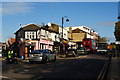
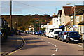
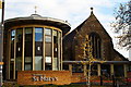
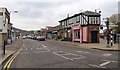
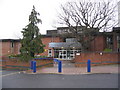
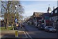
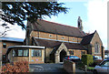
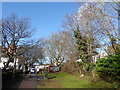
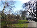
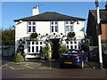
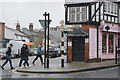

73 photos from this area
Area Information
Key information about the IG10 1JG including its size, population, and administrative classification.
- Area Type
- Postcode
- Area Size
- 3.5 hectares
- Population
- 1598
- Population Density
- 484 people/km²
House Prices in IG10 1JG
17
Properties
£595,107
Average Sold Price
£260,000
Lowest Price
£977,000
Highest Price
Showing 17 properties
| Address | Type | Beds | Baths | Last Sale Price | Last Sale Date | |
|---|---|---|---|---|---|---|
| 4 Forest Way, Loughton, IG10 1JG | Terraced | 3 | 1 | £630,000 | Jul 2025 | |
| 20 Forest Way, Loughton, IG10 1JG | Detached | 4 | 2 | £977,000 | Jul 2025 | |
| 12 Forest Way, Loughton, IG10 1JG | house | 3 | 1 | £810,000 | Feb 2025 | |
| 6 Forest Way, Loughton, IG10 1JG | house | 3 | - | £600,000 | Sep 2021 | |
| 1 Forest Way, Loughton, IG10 1JG | Semi-detached | 4 | 2 | £847,500 | May 2018 | |
| 10 Forest Way, Loughton, IG10 1JG | Terraced | 2 | 1 | £525,000 | Apr 2017 | |
| 8 Forest Way, Loughton, IG10 1JG | house | - | - | £439,000 | Dec 2015 | |
| 21 Forest Way, Loughton, IG10 1JG | Semi-detached | 1 | 2 | £300,000 | Feb 2011 | |
| 19 Forest Way, Loughton, IG10 1JG | Semi-detached | 1 | 1 | £310,500 | Jul 2010 | |
| 23 Forest Way, Loughton, IG10 1JG | house | 4 | - | £875,000 | Jul 2010 |
Page 1 of 2
Energy Efficiency in IG10 1JG
Amenities
Schools
| Rank | School | Type | Entry gender | Ages |
|---|
Explore more schools in this area
Go to Schools tabDemographics
Household Size
Family (3-5 people)
most common
Accommodation Type
Houses
most common
Tenure
87
majority
Ethnic Group
White
most common
Religion
N/A
most common
Household Composition
N/A
most common
Age
47
median
Adults (30-64 years)
most common
Household Deprivation
N/A
with no deprivation
NS-SEC
52
in Lower managerial occupations
Explore more demographic insights in this area
Go to Demographics tabPlanning
Planning Constraints
- Flood RiskPremium
- Ramsar Wetland SitesPremium
- Area of Outstanding Natural BeautyPremium
- Protected Nature ReservePremium
- Protected WoodlandPremium