Area Overview for HP4 3JE
Photos of HP4 3JE
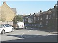
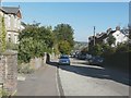
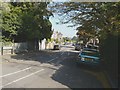
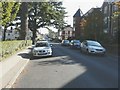
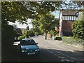
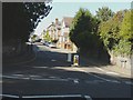
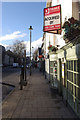
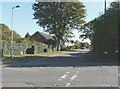
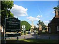
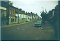
53 photos from this area
Area Information
Key information about the HP4 3JE including its size, population, and administrative classification.
- Area Type
- Postcode
- Area Size
- 7817 m²
- Population
- 1791
- Population Density
- 3097 people/km²
House Prices in HP4 3JE
19
Properties
£520,200
Average Sold Price
£220,000
Lowest Price
£1,125,000
Highest Price
Showing 19 properties
| Address | Type | Beds | Baths | Last Sale Price | Last Sale Date | |
|---|---|---|---|---|---|---|
| 39 Greenway, Berkhamsted, HP4 3JE | Detached | 5 | 2 | £1,125,000 | Jan 2020 | |
| 46 Greenway, Berkhamsted, HP4 3JE | house | - | - | £627,000 | Oct 2016 | |
| 38 Greenway, Berkhamsted, HP4 3JE | house | - | - | £574,000 | Sep 2016 | |
| 48A Greenway, Berkhamsted, HP4 3JE | house | - | - | £738,000 | Jun 2015 | |
| 40 Greenway, Berkhamsted, HP4 3JE | Terraced | 4 | 2 | £565,000 | Apr 2015 | |
| 34 Greenway, Berkhamsted, HP4 3JE | Semi-detached | - | - | £330,000 | Jul 2007 | |
| 45 Greenway, Berkhamsted, HP4 3JE | Semi-detached | 4 | 3 | £453,000 | Nov 2006 | |
| 32 Greenway, Berkhamsted, HP4 3JE | house | - | - | £290,000 | Oct 2005 | |
| 33 Greenway, Berkhamsted, HP4 3JE | Semi-detached | - | - | £280,000 | Jul 2003 | |
| 44 Greenway, Berkhamsted, HP4 3JE | Semi-detached | - | - | £220,000 | May 2001 |
Page 1 of 2
Energy Efficiency in HP4 3JE
Amenities
Schools
| Rank | School | Type | Entry gender | Ages |
|---|
Explore more schools in this area
Go to Schools tabDemographics
Household Size
Family (3-5 people)
most common
Accommodation Type
Houses
most common
Tenure
82
majority
Ethnic Group
White
most common
Religion
N/A
most common
Household Composition
N/A
most common
Age
47
median
Adults (30-64 years)
most common
Household Deprivation
N/A
with no deprivation
NS-SEC
56
in Lower managerial occupations
Explore more demographic insights in this area
Go to Demographics tabPlanning
Planning Constraints
- Flood RiskPremium
- Ramsar Wetland SitesPremium
- Area of Outstanding Natural BeautyPremium
- Protected Nature ReservePremium
- Protected WoodlandPremium