Area Overview for Brentwood
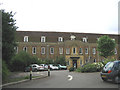
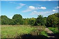
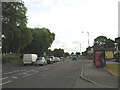
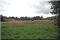
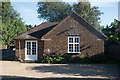
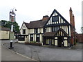
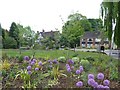
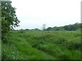
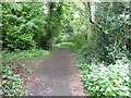
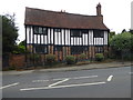
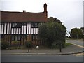
Photos of Brentwood

Area Information
Brentwood is a compact built-up area spanning 14.3 km², home to 1,163 residents. Its low population density of 81 people per square kilometre suggests a quiet, uncluttered lifestyle. The area’s character is shaped by its older demographic, with a median age of 70, indicating a community rooted in long-term residency. Daily life here balances accessibility with tranquillity, with nearby amenities such as retail outlets, rail stations, and primary schools within practical reach. The presence of multiple railway stations, including Shenfield and Brentwood, connects residents to broader networks, while the broadband score of 89 ensures reliable internet for both work and leisure. For those considering living in Brentwood, the combination of safety, connectivity, and community cohesion offers a distinct alternative to busier urban settings.
- Area Type
- Built Up Area 250
- Area Size
- 14.3 km²
- Population
- 1163
- Population Density
- 81 people/km²
Brentwood’s lifestyle is enhanced by its accessible amenities, including retail outlets such as Sainsburys, M&S, and Iceland, which cater to daily shopping needs. The area’s rail network provides easy access to nearby towns and cities, while the Upminster Bridge metro station offers a direct link to London. For leisure, the presence of multiple primary schools and green spaces—though not named in the data—suggests a balance between urban convenience and outdoor space. The compact size of the area means amenities are within walking or short driving distance, contributing to a convenient, low-stress lifestyle. This mix of retail, transport, and community facilities makes Brentwood appealing for those seeking practicality without sacrificing accessibility.
Amenities
Schools
Brentwood is served by several primary schools, including Holly Trees Infant School, Holly Trees Junior School, Pilgrims Hatch County Infant School, Long Ridings Primary School, and Pilgrims Hatch County Junior School. Long Ridings Primary School holds a ‘good’ Ofsted rating, indicating a strong educational offering for younger children. The concentration of primary schools within the area provides families with multiple options for their children’s early education. While no secondary schools are listed, the proximity of these primary institutions suggests a focus on foundational learning. For parents prioritising school quality, the presence of a ‘good’-rated school adds value to the area’s appeal for families.
| Rank | School | Type | Entry gender | Ages |
|---|
Explore more schools in this area
Go to Schools tabDemographics
Brentwood’s population is predominantly older, with a median age of 70, reflecting a community where long-term residents outnumber younger families. Home ownership is high at 71%, suggesting a stable, established population with fewer rental properties. The data does not specify household composition or accommodation types, but the overall demographic profile indicates a low turnover of residents. This stability may contribute to a sense of continuity in local services and social networks. The absence of detailed diversity statistics means the area’s cultural and ethnic composition remains less defined in the data, though the overall population is described as total, implying a broad mix. For buyers, this suggests a mature, settled community with a focus on long-term living over transient demographics.
Household Size
Accommodation Type
Tenure
Ethnic Group
Religion
Household Composition
Age
Household Deprivation
NS-SEC
Explore more demographic insights in this area
Go to Demographics tabPlanning
Planning Constraints
- Crime RiskPremium