Area Overview for EN9 2NN
Photos of EN9 2NN
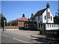
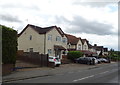
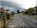

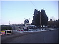
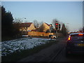
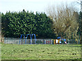
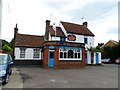
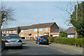
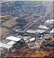
10 photos from this area
Area Information
Key information about the EN9 2NN including its size, population, and administrative classification.
- Area Type
- Postcode
- Area Size
- 1.2 hectares
- Population
- 1658
- Population Density
- 510 people/km²
House Prices in EN9 2NN
24
Properties
£430,794
Average Sold Price
£127,000
Lowest Price
£745,000
Highest Price
Showing 24 properties
| Address | Type | Beds | Baths | Last Sale Price | Last Sale Date | |
|---|---|---|---|---|---|---|
| 24 North Street, Nazeing, Waltham Abbey, EN9 2NN | Semi-detached | 4 | 2 | £640,000 | Nov 2024 | |
| 30 North Street, Nazeing, Waltham Abbey, EN9 2NN | Detached | 3 | 1 | £375,000 | Dec 2020 | |
| 14 North Street, Nazeing, Waltham Abbey, EN9 2NN | Detached | 4 | 3 | £745,000 | Nov 2020 | |
| 32 North Street, Nazeing, Waltham Abbey, EN9 2NN | Semi-detached | 4 | 3 | £567,500 | Dec 2017 | |
| 14A North Street, Nazeing, Waltham Abbey, EN9 2NN | Detached | 4 | - | £600,000 | Mar 2017 | |
| 50 North Street, Nazeing, Waltham Abbey, EN9 2NN | Detached | 4 | 2 | £525,000 | May 2016 | |
| Hadley House, 34A North Street, Nazeing, Waltham Abbey, EN9 2NN | house | - | - | £525,000 | May 2015 | |
| Bluebell House, 34 North Street, Nazeing, Waltham Abbey, EN9 2NN | Semi-detached | 5 | 4 | £495,000 | Jul 2014 | |
| 48A North Street, Nazeing, Waltham Abbey, EN9 2NN | house | - | - | £352,000 | Jun 2009 | |
| 26 North Street, Nazeing, Waltham Abbey, EN9 2NN | Semi-detached | 4 | 4 | £345,000 | Feb 2008 |
Page 1 of 3
Energy Efficiency in EN9 2NN
Amenities
Schools
| Rank | School | Type | Entry gender | Ages |
|---|
Explore more schools in this area
Go to Schools tabDemographics
Household Size
Two person
most common
Accommodation Type
Houses
most common
Tenure
91
majority
Ethnic Group
White
most common
Religion
N/A
most common
Household Composition
N/A
most common
Age
47
median
Adults (30-64 years)
most common
Household Deprivation
N/A
with no deprivation
NS-SEC
36
in Lower managerial occupations
Explore more demographic insights in this area
Go to Demographics tabPlanning
Planning Constraints
- Flood RiskPremium
- Ramsar Wetland SitesPremium
- Area of Outstanding Natural BeautyPremium
- Protected Nature ReservePremium
- Protected WoodlandPremium